Clwydian Range – The Welsh Frontier
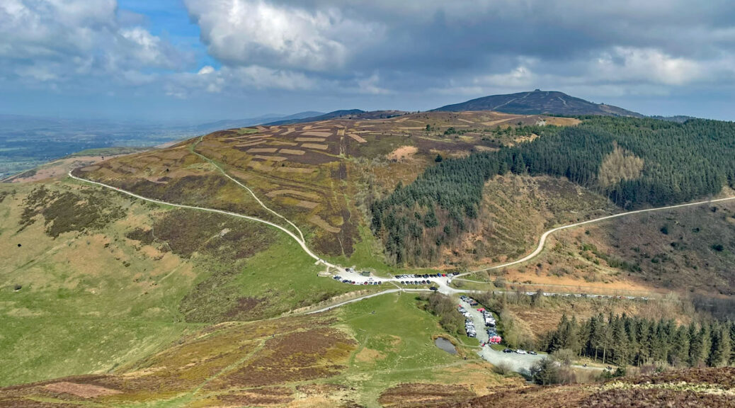
On the face of it the Clwydian Hills have a lot going for them. The range extends in an attractive, defined ridge for twenty miles from close to the North Wales coast, running south towards Llantysilio Mountain above Llangollen. The highest point reaches a respectable 1818 feet (554m) and the views possess pleasing variety. It forms part of an AONB, boasts six substantial Iron Age hillforts, colourful heather moorland and a rich diversity of wildlife. The crowning top, Moel Famau, is also one of the most visited summits in Wales.
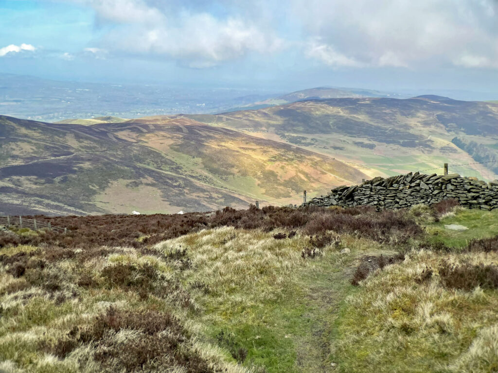
In many circumstances the relative geographical singularity would have provided the edge to clinching Worthy status, however, the deciding factor in this judgement as a Minor Worthy is that few parts of these hills command the atmosphere of mountains in a region where, not that far away, mountains abound. Its neighbour Llantysilio Mountain is only slightly higher but feels much wilder, although doesn’t even qualify as a Minor Worthy, mainly because it is one step nearer to the meaty heights, which are also far more alluring.
The map can be moved and zoomed in or out to see more of the range
A sizeable chunk of the Clwydians involves high level pastureland, affording pleasant countryside exercise, although the pressure of busier footfall on the more mountainous central section can render progress somewhat boggy at times. In contrast, the specific goal of most is the ascent of Moel Famau, regrettably sanitised by popularity, something which also partially sullies the experience. Nevertheless, to follow the full course of this undulating chain of hills is a satisfying undertaking, the higher moorland summits being heather clad and providing extensive views west to the distant presence of Snowdonia, really only clear on the finest of days, with the remaining compass forming a contrasting arc from Merseyside through Cheshire and the hills beyond.
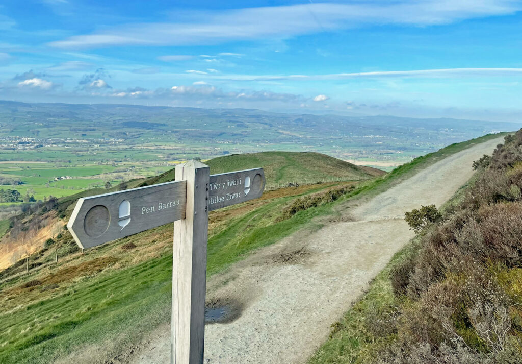
Offa’s Dyke National Trail follows most of the ridge although does not visit many of the actual summits. Mostly this involves just a short diversion to include them, although note that Moel Y Gaer, one of the lower tops just north of Bodfari is on private land.
Heading south from Bodfari, Offa’s Dyke completely ignores the first main summit Moel y Parc, a hill best known for the TV transmitter standing 771 feet high and the tallest structure in Wales. Rejoining the main trail, the steeper western slopes of the Clwydian Range become an established accompaniment for much of the walk. Running along the foot of these sweeping slopes is the fertile Vale of Clwyd. Rising again, the hillfort of Penycloddiau is reached, almost half a mile long and once supporting a community occupying around forty thatched roundhouses. The plethora of hillforts on the range were constructed about 2,500 years ago and were heavily defensive. In recent times, to protect the heritage of these ancient sites, the paths around the hillforts have been improved.
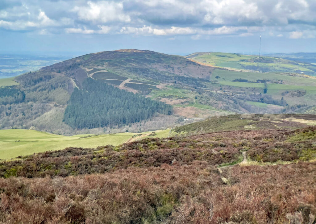
A minor road is crossed and additional altitude gained as Moel Arthur is reached, a conical hill also home to a much smaller hillfort. Do not descend directly off here due to the severity of the slopes. It is easier to head east to regain Offa’s Dyke then drop down to cross another minor road.
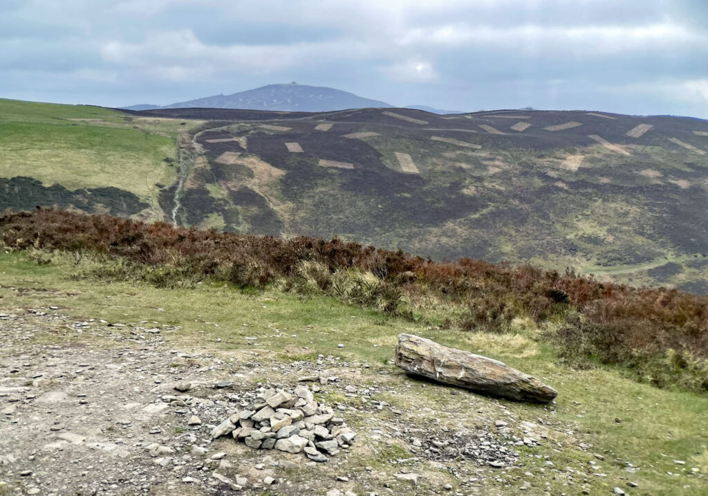
From here the major high moorland section of the range commences, culminating at Moel Famau, whose name appropriately translates as Mother Hill. The summit will usually jolt the senses, being crowded with daytrippers who have made the short ascent from the nearby country parks. You may be in Wales but there’s an unmistakable lilt of the Mersey and the Dee about the majority of visitors. The other jolt comes from the sight of a curious dilapidated carbuncle known as Jubilee Tower, built as celebration of George III’s Golden Jubilee in 1810. Only the base survives, although originally it was topped by an obelisk reaching skywards for 127 feet. The style was Egyptian. It’s certainly an oddity.
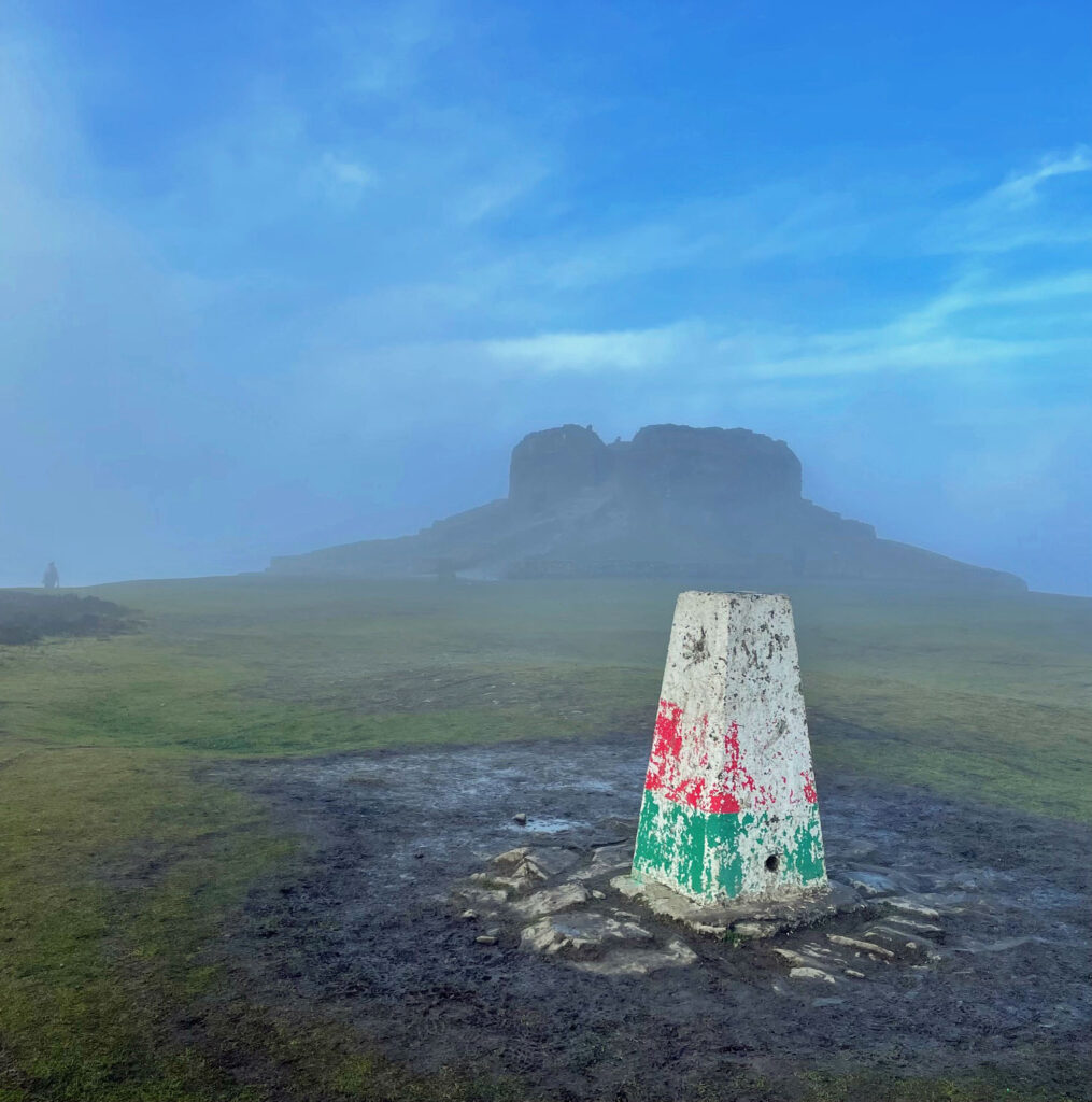
Moel Famau can also be climbed by a number of circular walks for those not following the full ridge. Cilcain is a popular starting point.
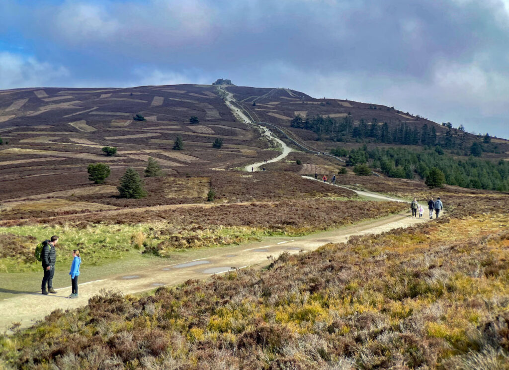
To continue the ridgewalk, follow the main tourist path is to the high road pass, Bwlch Penbarras, which is still at well over 1,000 feet and with a large car park. People numbers soon reduce as Foel Fenlli is climbed. The summit is once again the site of an impressive hillfort.
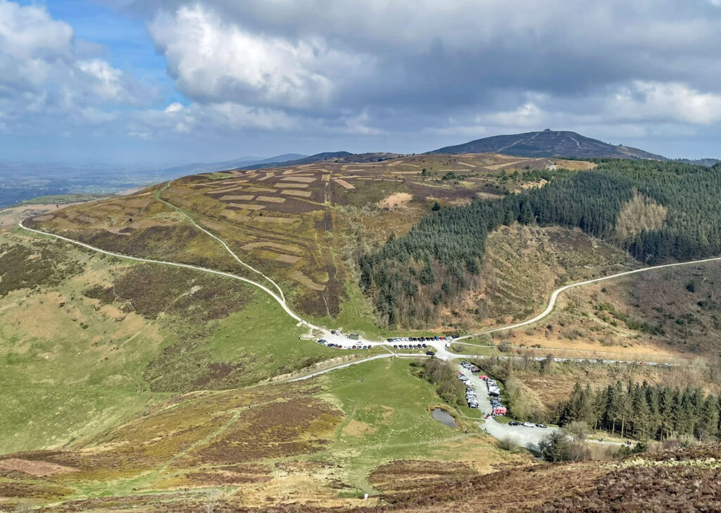
The southerly summits of the range revert to high pastureland, except for Moel Gwy which retains moorland heather cover. The AONB actively manages the landscape, the heather being cut and burned according to ancient tradition to preserve the habitat for black and red grouse. The Clwydian Range was the founding part of the AONB when designated in 1985, the Dee Valley being added in 2011. However, the Welsh Government is committed to converting the AONB into national park status, to be rather uninspiringly titled the North East Wales National Park, although this is by no means a guaranteed outcome due to multiple opposing factions.
Offa’s Dyke quietly drops away and entirely abandons the final hills, Moel y Waun and Moel yr Accre, which are consequently less frequently climbed. Nonetheless, paragliders use these hills for take off, carrying their heavy equipment 300ft up from the road to the east on a path that reaches the col between the two tops. Naturally at the end of your long journey, you will be too tired to offer any assistance!
Worthy Rating: 64.5
Aesthetic – 19.5
Complexity – 11
Views – 15
Route Satisfaction – 12
Special Qualities – 7