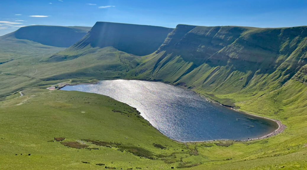
Black Mountain – Beacons for the connoisseur
Y Mynydd Du is a landscape to inspire folklore, legends and myths. There is the tragic tale of the Lady of Llyn y Fan Fach and temperature inversions forming swirling valley mists are locally purported to be dragon’s breath. You may take this frivolous lore with a pinch of fairy dust, but you will nonetheless be arrested by an undeniably magical atmosphere amidst the sculpted skyline, whose rugged apron plunges precipitously into glacial cirques.
Glossing over the fact that a massif called the Black Mountains (which also contains an individual Black Mountain) exists on the eastern side of the same national park, the nomenclature of our Black Mountain is confusing because it has multiple collective names.
Y Mynydd Du simply translates as Black Mountain, although it is not singular, but a range. In addition, the name does not merely comprise the higher summits but also the subsidiary defined moorland ridge running west from below Waun Lefrith across Garreg Leg and several summits, then over the Black Mountain road pass before eventually fizzling out a few miles beyond.

Many people refer to the main peaks collectively as the Carmarthen Fans or Bannau Sir Gaer in Welsh, although strictly this only encompasses those tops in Carmarthenshire, as the county border divides the hills and the highest summit is actually in Powys. Perhaps Y Mynydd Du Fans or ‘Black Mountain Vans’ (to anglicize it) would be a neat solution.
For our purposes, it is this extensive hindleg ridge and its escarpment running from Waun Lefrith to Fan Hir that elevates the Black Mountain to Worthy status, further boosted by the presence of two sublime corrie lakes. The Brecon Beacons may be higher, more renowned and attract the majority of visitors, but the dramatic topography and delicious solitude of the Mynydd Du make it the connoisseur’s choice.
The map can be moved, or zoomed in and out to change the scale
There are three major access points to the hills, from Glyntawe on the A4067 in the south, the lofty mountain road at Bwlch Cerrig Duon further up the Afon Tawe due east of the tops, and the most popular from the rough track beyond Llanddeusant to the north. Despite the latter being the most remote, the reason it is the choice of most is due to a combination of an easy approach path and the celebrated attraction of Llyn y Fan Fach, which for many is a destination in itself. Here there is the legend of the Lady in the Lake to tempt visitors, although the setting is truly magnificent and I would hope accounts for the majority.
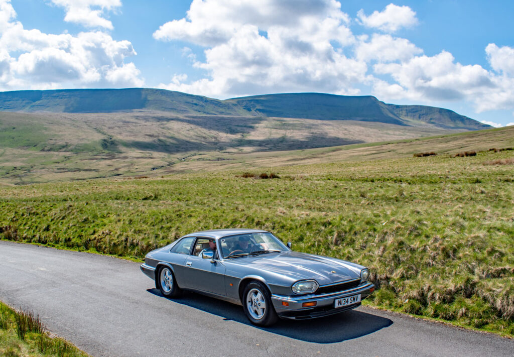
All the summits could be climbed on a single outing from any of the three departure points on a twelve/thirteen mile circuit, the southern approach being the shortest. Alternatively, it could be split into two shorter days utilising any two of the three starting points. The final alternative, from the north or east is a sort of major highlights walk to include all the tops and both lakes by diverting to the summit of Fan Hir from Bwlch Giedd. This is around nine miles in length.
Beginning at the substantial gravel car park on the bumpy track east of Llanddeusant the track becomes traffic free, although not especially inspiring as it ascends to Llyn y Fan Fach. The alternative is to retrace for a few hundred metres, cross the river and follow the Beacons Way footpath directly to the first summit of Waun Lefrith.
Llyn y Fan Fach is a natural, shallow lake increased in size when a dam was completed in 1919 to provide additional water supplies for Llanelli. It was constructed by over 150 Conscientious Objectors taken out of prison and deployed here during the First World War. They replaced a paid workforce of navvies who considered the conditions too harsh (more cushy wartime alternatives were available), although it does indicate the low level of respect a Conscientious Objector received during the war. A rudimentary camp was built near the present car park.
Later in the century the reservoir became obsolete and the costs of maintenance were considered prohibitive, the intention being to return the environment to its former state, however, the dam had been granted listed building status due to the historic legacy of construction by Conscientious Objectors and so dam protection works were carried out, being completed in 2023. The former filter beds half way up the track to the dam are used as a fish hatchery set up in 1994 to breed salmon and trout. By the dam a former waterworks building is open as a windowless emergency shelter.
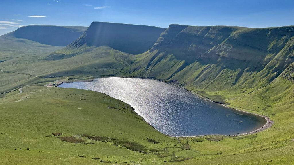
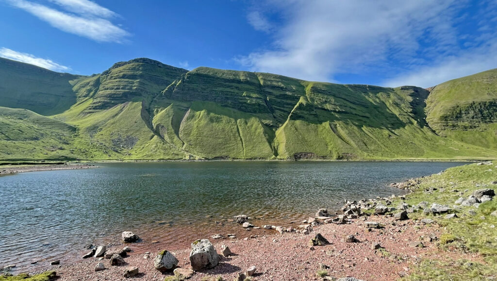
The setting of the lake is magnificent, the mountain grasses a vibrant green and the shoreline a burst of dark pink from the exposed red sandstone bedrock. Social media has propelled the lake into a wild swimming venue, although the water quality has more recently become suspect and taking a dip is not encouraged. Instead, gaze in awe at the steep, crag rimmed scarp, the slopes below incised by prominent gullies formed through debris flow of water laden material scouring channels. They extend across much of the north facing escarpment and provide the finest examples in Britain.
In many ways the views only improve as the path is followed up to the right to reach the north ridge of Waun Lefrith where the Beacons Way is joined. This ninety-nine-mile official long distance footpath links the four mountainous regions of the national park.
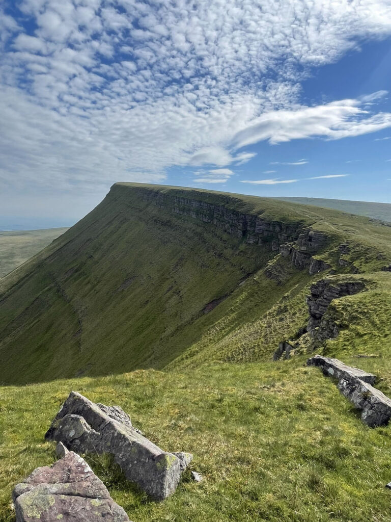
Once on top the going is easy on short grass, skirting the crest of the escarpment to Picws Du summit, which exhibits a large, low bronze age round barrow, on very edge of the precipice. It remains unexcavated. There are many remains in these hills as the climate, when these were constructed around four thousand years ago, was more agreeable and the uplands supported larger populations.
The descent to the bwlch is around 100m, from where an escape path could be taken that drops steeply to the foot of the escarpment. Otherwise, a little over 100m of ascent brings the summit of Fan Foel, the county high point of Carmarthenshire. This ought to be exciting (the views are certainly spectacular) but in truth this top is not a separate hill but merely a northern terminus of the slightly higher Fan Brycheiniog.
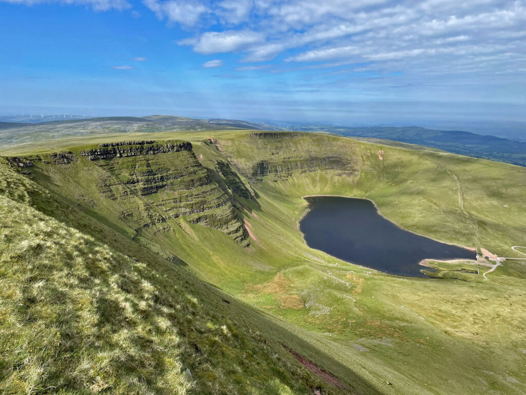
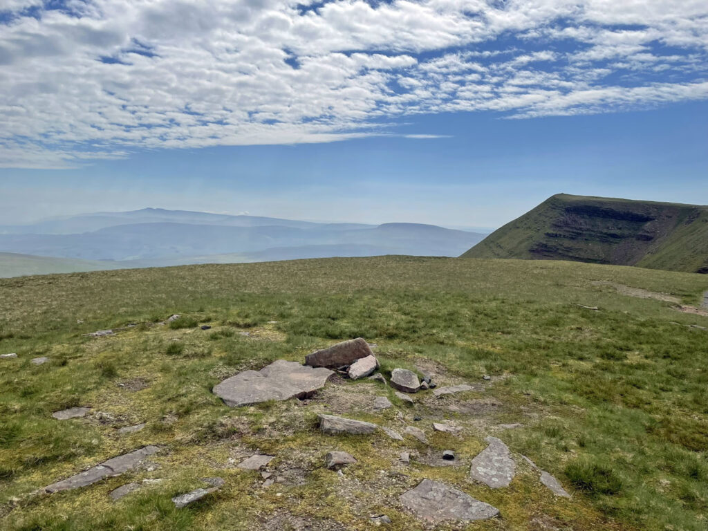
Important nonetheless is that the summit is crowned by the Fan Foel bronze age burial mound, some 11m in circumference. Excavations in 2004 found pottery, tools and cremated bones, a stone cist previously being obscured by the summit cairn which was dismantled and thankfully not rebuilt. Many people will not realise the significance of this surface ring or even realise it was created by man. There are similar structures on the Brecon Beacon summits of Pen-y-Fan and Corn Du, although few of thousands taking selfies there comprehend that they are standing upon reconstructed Bronze Age cairns.
Fan Foel is the turning point of the Old Red Sandstone escarpment that characterises the Mynydd Du. To the west it recedes back in gentle waves to Llyn y Fan Fach; to the south the scarp slope is more uniform, undisturbed by runnels of debris flow. For those splitting the range into two, this is an ideal place to descend, the north ridge being a relatively gentle slope after a which a left turn follows a traversing path beneath the impressive, scarred escarpment. This can be followed all the way back to Llyn y Fan Fach on an occasionally narrow path beneath the oppressive craggy hillside, or a more direct route not marked on the map but clearly seen on the ground affords a wider prospect of the hills. This path arrives back at the outward track near the former filter beds, thus reducing time returning by the less interesting waterworks road.
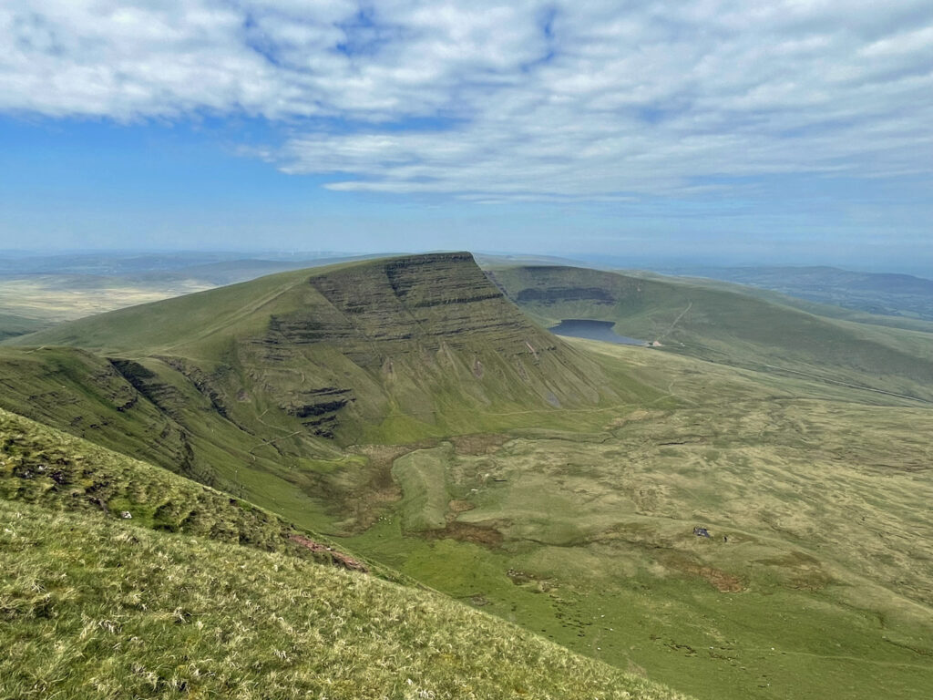
Alternatively, if you are completing the whole range in one walk this short ridge provides the ideal opportunity to make the outing into a figure of eight, thereby adding much variety. Most reports you will read suggest a full ridge traverse followed a full escarpment foot return, but the figure of eight option nicely mixes this up into two halves with only an addition of around 100m of ascent.
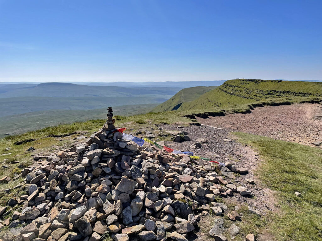
For those continuing on the ridge from Fan Foel, the next summit is close by, that of Twr y Fan Foel. This is perched stupendously on the brink and also features a Bronze Age barrow, this time somewhat desecrated by a walker’s cairn. A couple of minutes level walk away is the recognised summit of the range, Fan Brycheiniog, however, despite boasting an OS trig pillar and an elaborate circular stone shelter with inner seat, it is not the highest point of the mountain. This is in fact Twr y Fan Foel where you have just been standing at an altitude of 2633ft (802.5m). Not many people know that the generally accepted summit is lower at 2630ft (801.7m). Incidentally, the trig point is one of the original 310 ‘primary’ pillars that were the foundation of the Britain’s modern mapping. The only other one in the Brecon Beacons is on Waun Fach in the Black Mountains.
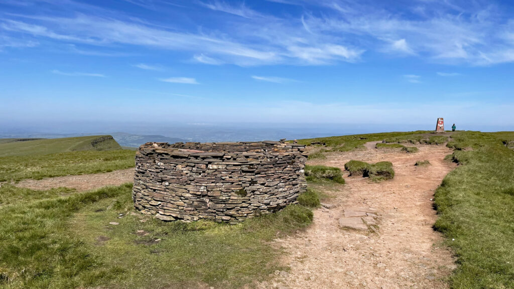
Fan Brycheiniog lies just inside the historic county of Brecknockshire (now part of Powys) which gives the mountain its Welsh name. And, of course also the modern name of the national park, Bannau Brycheiniog.
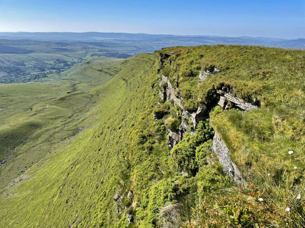
The ridge walking up here is straightforward and just a 100m descent brings the next col, Bwlch Giedd. For those taking the ‘highlights’ walk, a mere 50m of diversionary ascent takes you to the final summit of Fan Hir. It’s a short climb worth doing not for any impressive pointed peak (it’s flat and there is hardly even a cairn), but a stroll around the top examining the glorious escarpment below should not be missed. If descending from here to Glantawe, it is a longish (Fan Hir means long peak) easy going walk, usually accompanied by the constant call of Skylarks attracted to high grasslands.
Back to Bwlch Giedd, which is linked to Llyn Fan Fawr by the ‘ladder’ path, a mostly stepped construction dropping 100m to the lake. The environs of the lake are the perhaps the first sign of bog that you may have seen all day, unless that is you were tempted by the extra starting height of the eastern approach and came this way alongside the infant River Tawe. The source of Swansea’s great river is on the marshy ground below the lake. Interestingly the main river of the Brecon Beacons, the Usk, whose outflow is at Newport, also rises close by on the northern slopes of Fan Foel.
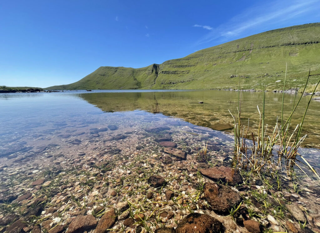
Welsh legend asserts itself again here, claiming Llyn y Fan Fawr to be bottomless and impossible for marine life to survive. In truth it is 20m deep and there are native brown trout. The lake is also regularly stocked with rainbow and blue trout for fly fishermen. The waters are very cold when compared to Llyn y Fan Fach which is generally shallower, and the water quality is regarded as superior so swimming is chilly but not discouraged.
For those heading to Glantawe, the return is a pleasing wander down the raised bank of Fan Fechan, composed of glacial moraine, running beneath and parallel to Fan Hir.
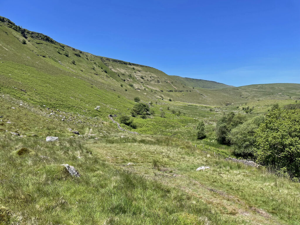
Those heading back to the llyn Fan y Fach car park can follow the path that climbs left from the end of the lake and skirts around the northern shoulder of Fan Foel. This is also used as a low level alternative by the Beacons Way footpath.
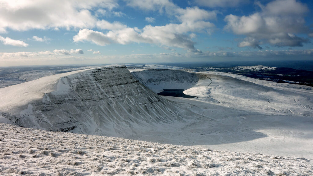
Whichever way you have chosen to walk the Mynydd Du, the scenery will have been epic and the experience a memory to treasure. And don’t forget to come back in the winter!
WORTHY RATING: 80
AESTHETIC – 25.5
COMPLEXITY – 15
VIEWS – 15
ROUTE SATISFACTION – 16
SPECIAL QUALITIES – 8.5
2 thoughts on “Black Mountain – Beacons for the connoisseur”
I enjoyed reading this detailed account of a firm favourite of mine, with a lot of detail I did not know (history and the 2 summit heights on Fan B). Excellent photos too.
Thank you! Discovering fascinating facts is really satisfying and I hope adds to other’s enjoyment of the walks.