The Long Mynd – Shropshire’s Blue Remembered Hills
I would guess that few dedicated hillwalkers pay the Shropshire Hills much attention because Shropshire has no mountains, but it does have hills with mountainous attributes, and quite a fine selection there are too. The region also boasts a bewildering myriad official designations with blurred boundaries, which attest to the value of these hills, including an Area of Outstanding Natural Beauty, a National Landscape, a Natural Area and a Natural Character Area.
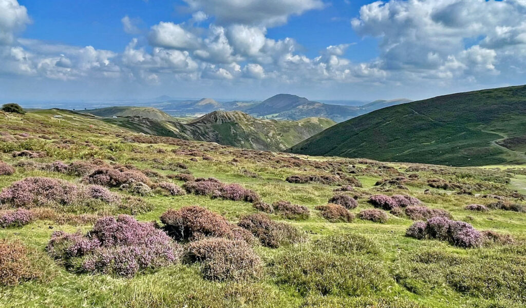
Certainly, beauty and distinction are intrinsic traits for the selection of ‘Worthies’ and narrowing the choices to a single representative has been a tricky, although very interesting undertaking. The end result is actually not one, but two separate, although neighbouring tops in the Long Mynd and Stretton Hills. These upland districts are a unique combination, for I have not found anywhere else quite like them in Britain.
The higher chosen hill, Yearlet, comprises just a slice of the Long Mynd range and the second hill is the adjacent Caer Caradoc, the highest of the Stretton Hills, which lies just across a valley created by a powerful geological fault line. On the east side the Long Mynd forms an extensive sedimentary moorland plateau, on the west Caer Caradoc Hill is the tallest of a chain of volcanos. Together these contrasting landforms can be explored (if desired) on a single outing that encompasses the finest qualities of Shropshire’s ancient uplands.
The map below can zoomed in or out to change the scale
The above hills are not Shropshire’s highest, that crown belonging to Brown Clee Hill, a relatively retiring summit which reaches 1770ft (540m). The highest point is called Abdon Burf and despoiled by a radar installation, although it does claim the unique distinction of the being the highest ground heading due east until the Ural Mountains in central Russia!
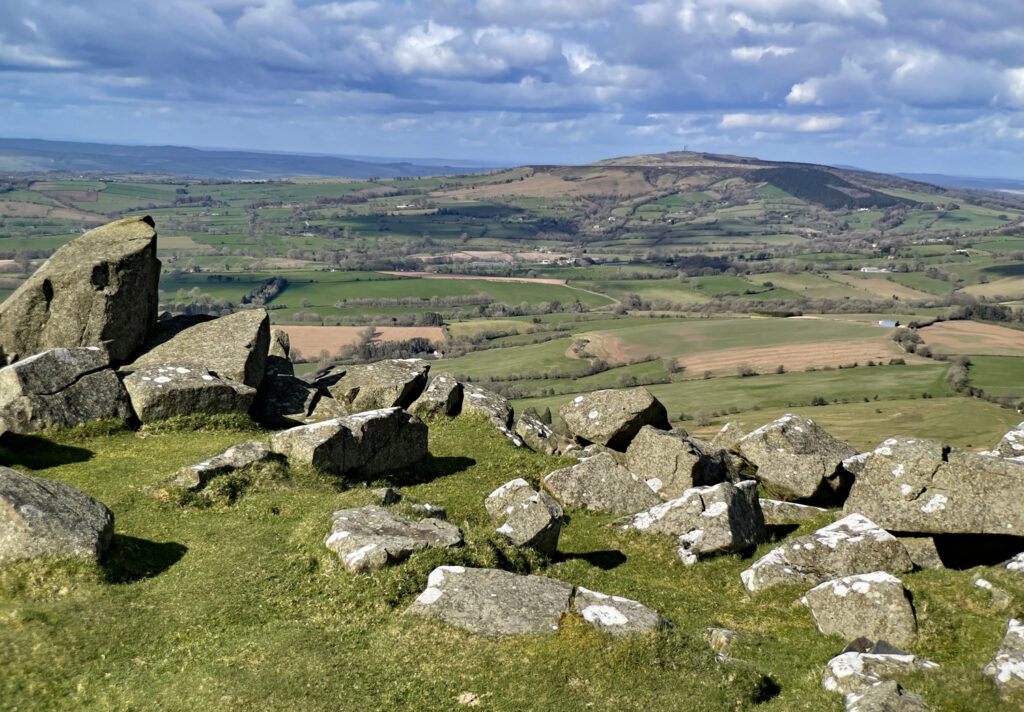
Brown Clee’s sister hill, Titterstone Clee is a handful of miles to the south, forty feet lower, although more conspicuous. It is Shropshire’s third highest summit and similarly afflicted by both a radar and a weather station, in addition to being heavily quarried. There is also a public road virtually to the summit. Nevertheless, to ascend from the hamlet of Clee St. Mary provides a fine walk with excellent views. You can see from the Brecon Beacons to the centre of Birmingham, how’s that for variety!
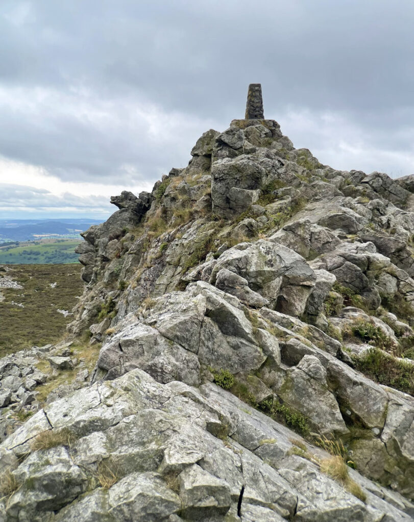
The silver medal in altitude is bestowed on the Stiperstones, whose summit crest is a jumble of rocky tors. Once again, the higher slopes are traversed by a road, nonetheless, this can be ignored and a satisfying hill walk undertaken from Stiperstones village to the northwest.
There are numerous other hill districts in the county, the Shropshire National Landscape organisation listing fifty tops on its website that it considers meritorious.
However, let us consider our own painstakingly chosen meritorious hills for this feature, those that best represent Shropshire’s uplands. Yearlet and Caer Caradoc are divided by a valley occupied by the small town of Church Stretton. Nevertheless, if you look closely this is not a deep valley (there is no river) but a sunken pass between the hills, known as the Stretton Gap, thus affording more of a link between the hills than ostensibly imagined. If the town was not there the hills would not feel so separate.
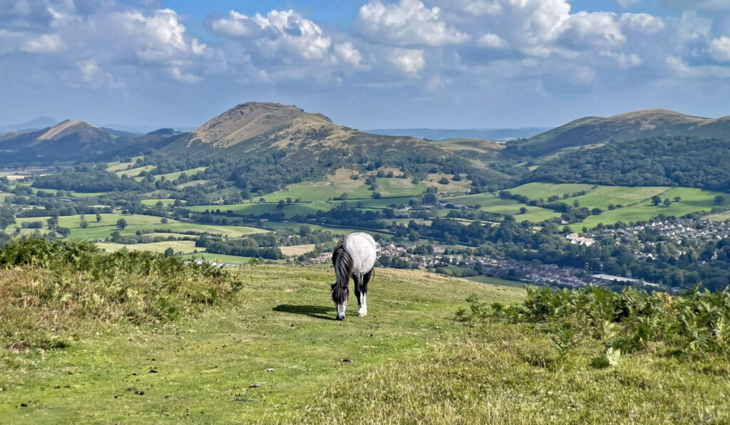
Church Stretton was a market town based around a textile industry but expanded with tourism particularly during Edwardian days, the settlement being one of those granted the alluring title of ‘Little Switzerland’. It is a characterful place, with many fine buildings and the air of an inland holiday resort..
Caer Caradoc – what’s in a name?
We are not in Wales but there is a legacy of Welsh influence in the area, the name Long Mynd derives from the welsh mynydd (mountain) and caer is Welsh for fort. Caer Caradoc describes the defensive Iron Age earthworks clearly seen on the summit of this 1506ft (459m) hill. Caradoc is the Welsh name for Caratacus, leader of guerilla forces who resisted the Roman invasion. A fanciful legend has it that this was his last stand (in AD 50) and that he hid in a cave beneath the summit overlooking the Stretton Valley on the west side. To find the cave take the path branching off the north ridge at the level section just below the summit. The legend may well be bunkum, although it serves to add further drama to a wander amongst the stimulating summit ramparts.
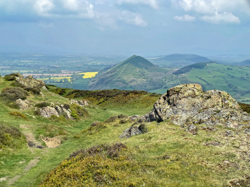
There is a majesty to the outline of Caer Caradoc Hill, which is the tallest in a series of thrusting volcanic eruptions stretching southwest from the Wrekin to Ragleth Hill. A fine way to climb Caradoc is to combine it with The Lawley, the pointy small hill just to the north, whose narrow crest is a delight. There is a substantial drop between the hills, as these are strikingly separate entities and the northeast ridge to the summit of Caer Caradoc is particularly steep, being one of those occasions where it is simpler to admire the view from between your legs. An upside-down Lawley is a sight to be relished!
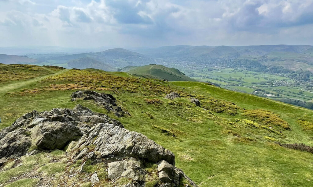
I would also recommend adding Hope Bowdler Hill (1398ft), either as separate horseshoe walk or as part of a linear excursion. The hill displays some fine rocky outcrops, most notably the Gaer Stone, easily reached from a substantial layby on the B4371 a mile east of Church Stretton. This is also the best starting point for a circular walk of Hope Bowdler Hill and Caer Caradoc Hill.
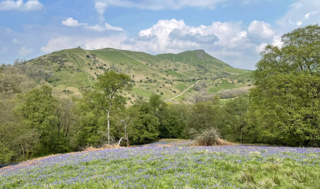
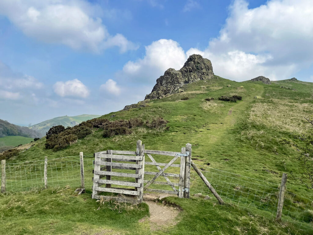
Yearlet
Rising in an attempt at isolation from the lofty plateau of the Long Mynd, Yearlet presents a discreet, yet shapely prominence when set against the general moorland expanse. The summit attains 1528ft (465m) and is not the highest point of the Long Mynd, in fact the road over the Mynd surpasses it in altitude, although being sufficiently distanced, the presence of the road brings no ignominy. This is not the case with Pole Bank, the actual top of the Mynd at 1695ft (516m), which bears asphalt almost to the very summit.
The road, known as The Burway is in truth rather a pleasing, unobtrusive companion. It is an audacious dark ribbon through the wilderness, commencing with a fearsome climb directly from the town of Church Stretton up onto the moor. The route was an ancient crossing of the Long Mynd and although steep it has no sharp bends, the major concern comes from meeting fellow motorists on the single-track carriageway. The easiest ascent of Yearlet would be to simply park in one of the convenient scenic laybys and stroll up to the summit. The road does offer splendid views, but to walk from valley level brings many superior insights into the charms of the Long Mynd.
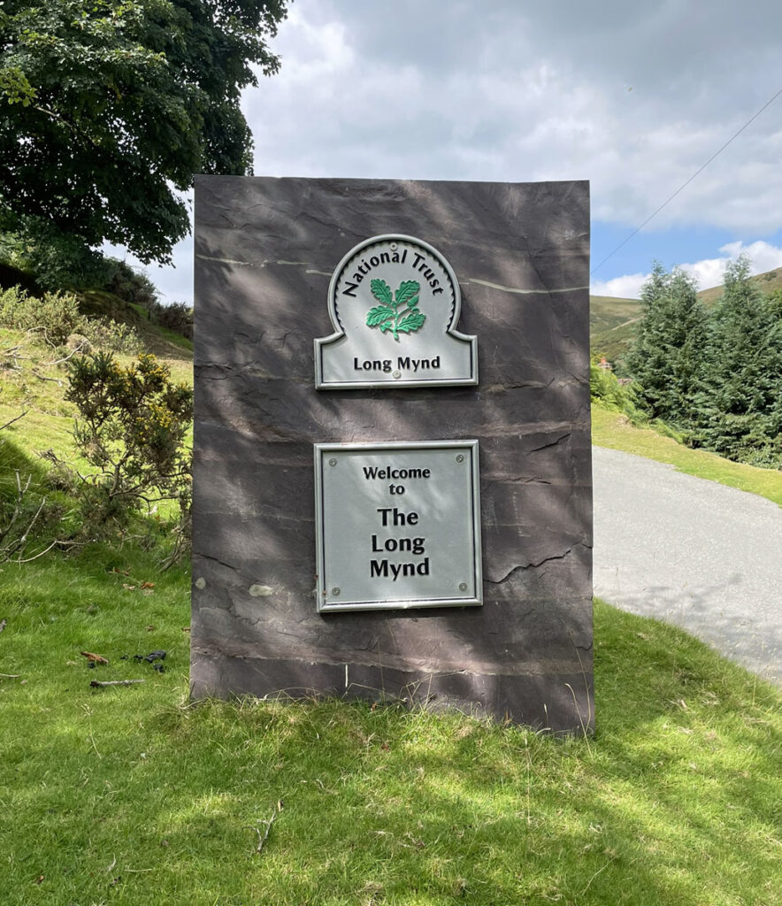
My suggestion for the ascent is a circular walk from the popular Carding Mill Valley, which in common with the rest of the Long Mynd is owned and managed by the National Trust. When I say popular, I mean it, as on summer weekends this is a sea of parked cars and paddling children all gleefully enjoying the largest and most accommodating of the deep valleys which incise the eastern slopes of the Mynd. There is a halcyon atmosphere to this place and for the locals, fond memories of youthful frolics in the hills. The Shropshire poet A.E Houseman articulated this emotively, referring to these ‘Blue Remembered Hills’ as his ‘Land of Lost Content’.
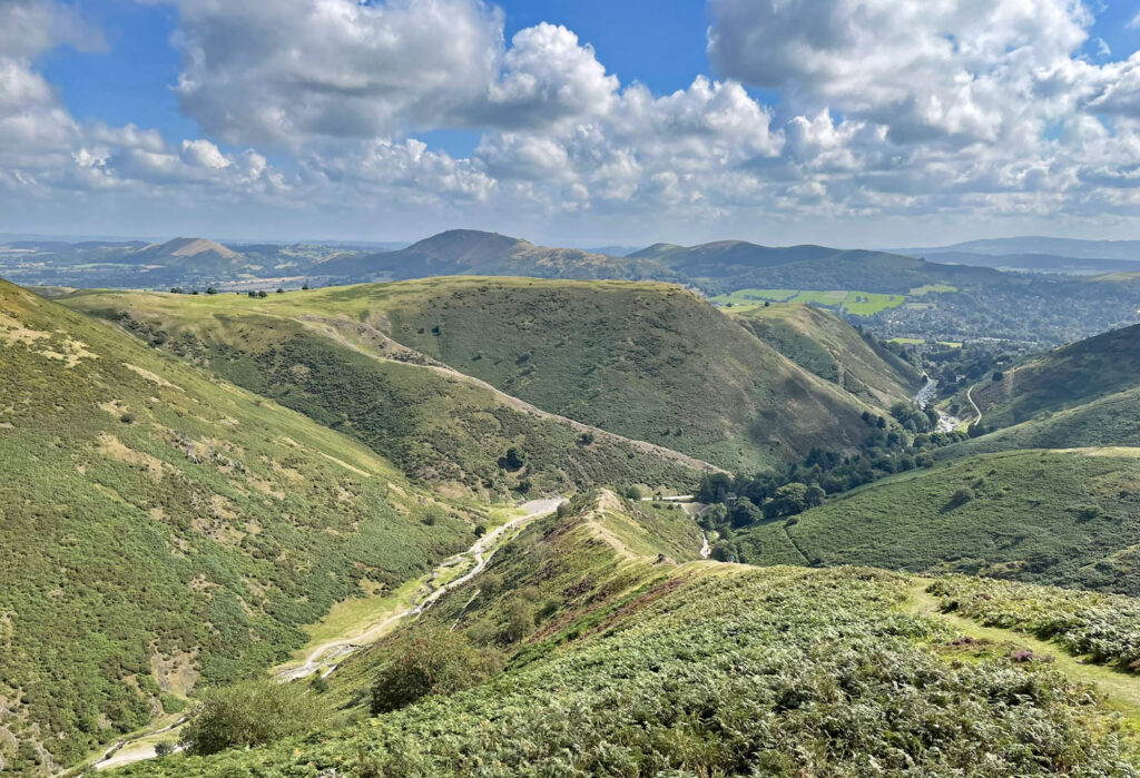
The valleys are locally known as ‘batches’ and afford a distinctive presence as they tumble from the elevated plateau. Carding Mill Valley splits into several tributaries and my favoured route is to climb the short, steep and thrilling spur onto Cow Ridge. As the gradient eases onto the moor, traverse left arcing round towards Yearlet, crossing the Burway half way. The walk is best done in this direction as the Yearlet creates a sense of objective throughout as, if coming clockwise, the road is more frequently in view and would therefore appear more intrusive.
It’s a simple stroll to the summit, allowing ample opportunity to revel in the panoramic outlook to the surround moors, hills and batches. And even across to one of England’s most impressively situated golf courses perched loftily at 1230 feet on a verdant shelf amidst the hills, although to reach these heights, the early holes are so steep that a golfer hitting his ball insufficiently far is liable to see it rolling back to the tee!
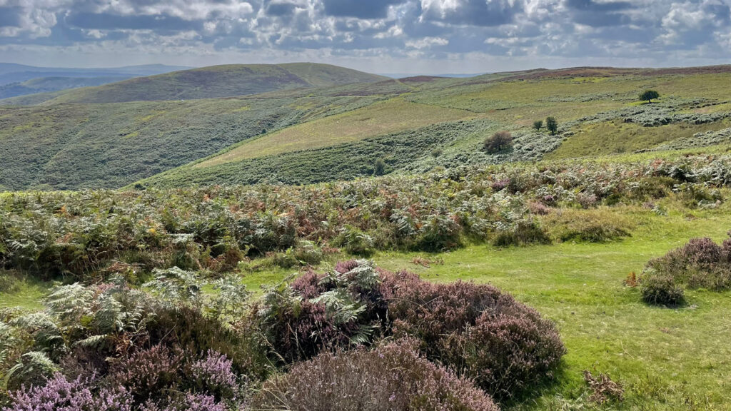
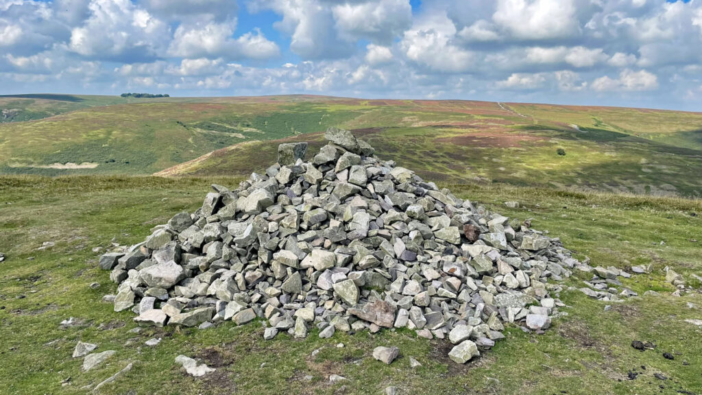
One feels immersed in the heart of the action on the summit of Yearlet, not that the top is ever busy and even the main path from Church Stretton actually bypasses the highest point. Nevertheless, this is a place for connoisseurs to linger and absorb the scene.
A direct descent towards Church Stretton involves a lovely grassy swathe, the eyes fixed firmly on the imposing presence of Caer Caradoc Hill across the valley. On meeting a horizontal path above the town, follow it to the left, across the batch of the Townbrook Valley and once again over the Burway, to conveniently slant down back into the Carding Mill Valley.
Status: Worthy
Worthy Rating: 71.5
Aesthetic – 22.5
Complexity – 12
Views – 16
Route Satisfaction – 14
Special Qualities – 7
One thought on “The Long Mynd – Shropshire’s Blue Remembered Hills”
Reminds me what a great hill/range this is. My one visit was via mountain bike and I had a great day, but need to return on foot