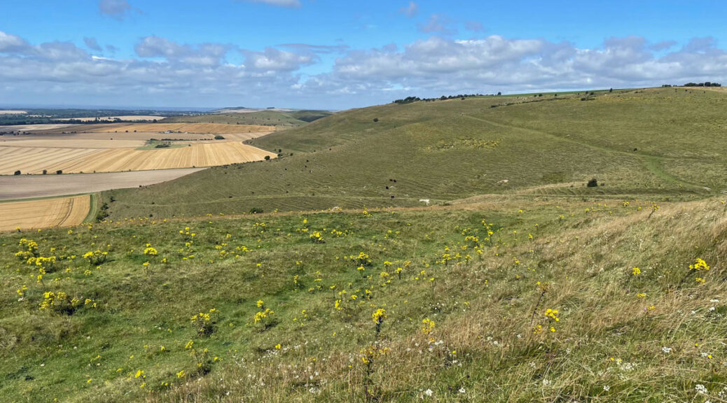
Pewsey Downs – A Wiltshire Wanderland
Hills don’t need to be mountains to provide walking pleasure and this exploration of the Wiltshire Downs is an excellent example. In my view the Pewsey Downs are probably the finest representative in the county (and arguably the country) to showcase the charm of the chalk downland amidst a quintessential English countryside setting.
These hills may attract a rating of 67 but to miss them would leave a hole in your outdoor education and they are therefore awarded full Worthy status.

Wiltshire is a county of mystery, from its multitude of prehistoric sites and white horse landscape figures to the more modern phenomena of being the capital of Britain’s UFO and crop circle activity.
The UFOs are mostly spotted in the west of the county around Warminster, but the Pewsey Downs are a hotbed for crop circles, which comprise complex geometric formations on a large scale. They are created by flattening the crops, rather than cutting, with wheat and barley fields being an ideal medium. Crop circles became a thriving topic from the late 1970s and through the 80’s. Sightings are now not such hot news, so you would perhaps expect that activity has died down, however, this is not the case as many still appear every year, overnight, as if by magic. There are claims they are the result of extra-terrestrials, paranormal activity, or extraordinary meteorological manifestation, although many are undoubtedly the result of the hand of man, whether they be termed hoaxers or crop artists. Nevertheless, secrecy is maintained and that keeps us guessing.
Milk Hill is the highest point in Wiltshire at 968ft (295m) and pleasingly it also comprises part of perhaps the shapeliest range of hills in the county. The traverse of the full ridge from the A345 at Oare Hill westwards to the A361 at Bishop Canning Downs would be a fine walk at around 12 miles, although would require some transport logistics. However, for a circular outing taking in the major interest this 6-mile walk features the major highlights.
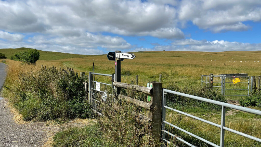
Starting at the Pewsey Downs Nature Reserve car park feels like cheating as it is already at 200 metres above sea level, although whilst ascending from Pewsey Vale below is perfectly possible, the route works much better this way. It is therefore an easy stroll to the top of the first summit, Walker’s Hill, a truly outstanding viewpoint and very popular with paragliders due to its easy access. The summit is crowned by Adam’s Grave, a neolithic burial chamber known as a long barrow. The site is well over 5,000 years old and the locals presumably knew it was ancient because they named it after the first man on the earth. The mound was built of chalk dug from the two ditches either side.
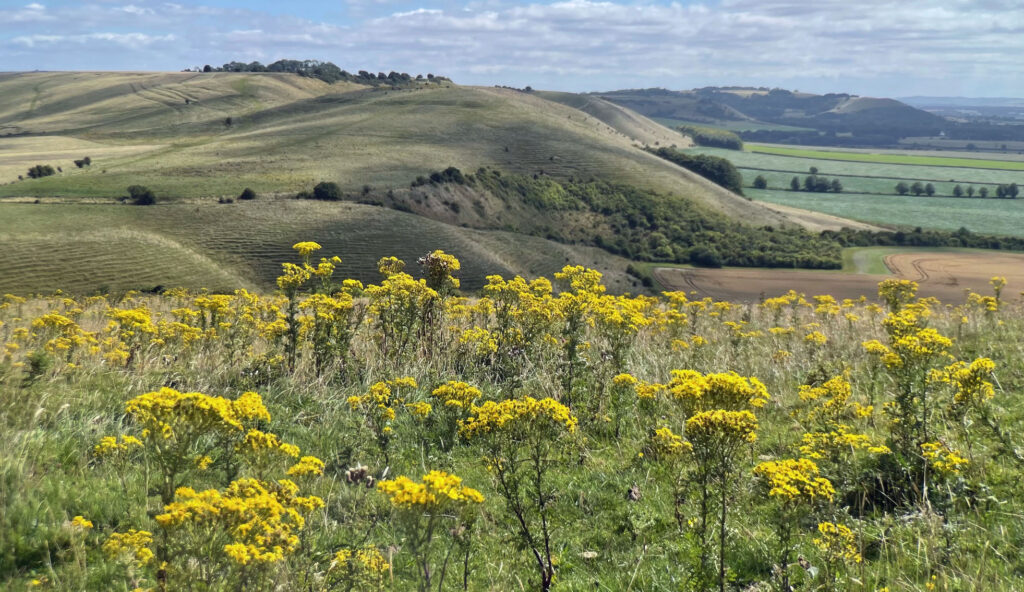
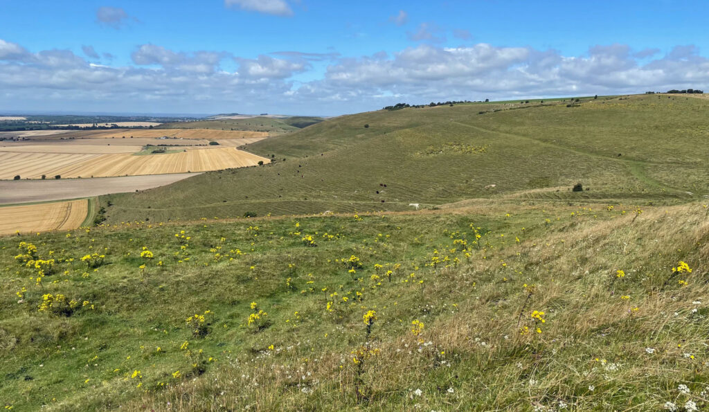
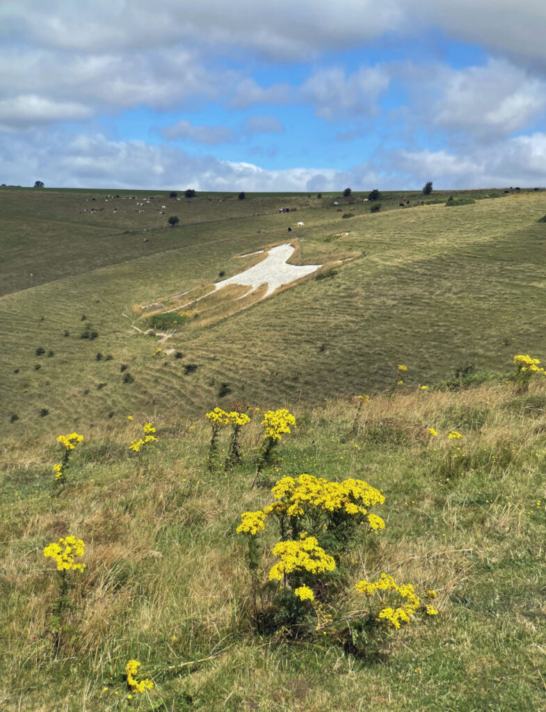
The lovely grassy path then meanders beneath the crest of Milk Hill and is surprisingly less defined than expected considering the White Horse Way, Mid Wiltshire Way and the Pewsey Circular all follow the same course hereabouts. Soon the path skirts the mane (if it had one) of the Alton Barnes White Horse, which was turned into a zebra for an April fool’s prank in 2014 when black plastic sheeting was placed in strips across the body. In honourable spirit, the perpetrators returned the following evening and tided up.
The contrast between the green folds of the rolling downs and intensive, colourful crops of the Pewsey Vale below is striking and admirably viewed from the ridge. Beyond the vale, the ground rises onto Salisbury Plain, although ‘Plain’ is a misnomer as this is rolling upland country reaching 750 feet (230m) above sea level.
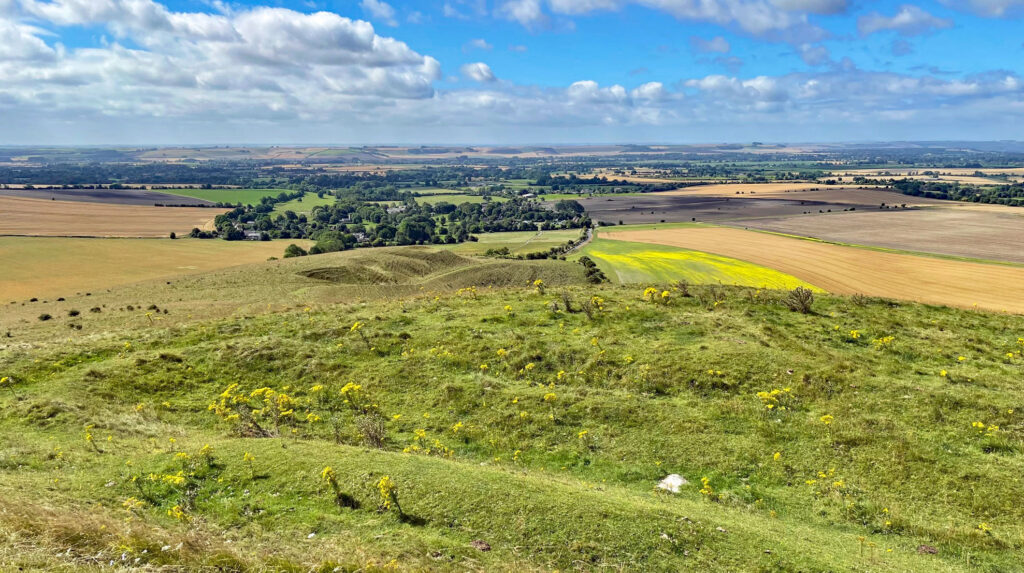
The path does not quite reach the summit of Milk Hill, the actual top being unmarked and indeterminable amidst the sprawling plateau that surrounds it. It is also behind a fence in a crop field, which is arguably rather disrespectful to the county’s highest point!
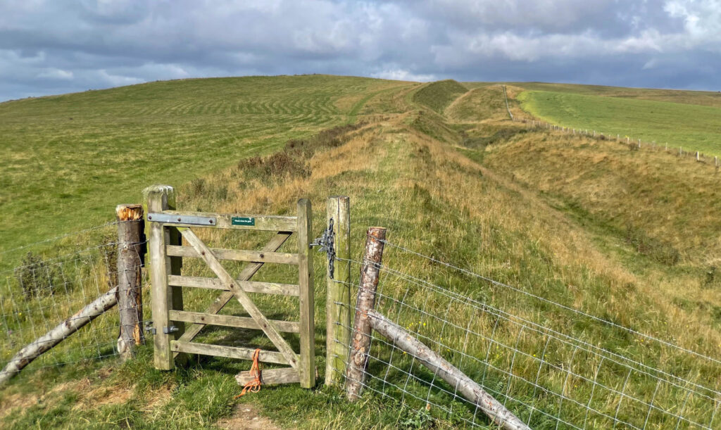
Soon the antiquity of human occupation becomes apparent with the sight of Wansdyke, a defensive ditch and embankment running along the crest. It is similar to Offa’s Dyke but predates it and this part is one of the finest preserved sections. We follow the dyke to Tan Hill, the second highest point after Milk Hill. The map formerly marked both summits as 294m and there was much controversy as to which was highest, so much so that in 2009, at the instigation of the Countryfile TV programme, the heights were resurveyed and Milk Hill was found to be 26cm/10.2in taller. The actual heights are 294.19 and 293.93 metres respectively, although Milk Hill is now shown as 295m on Ordnance Survey maps.
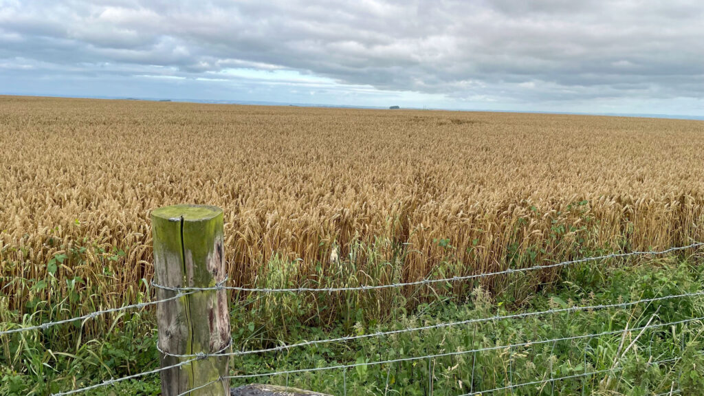
The map displays a trig point on Tan Hill so you might expect the place to feel more like a hill top should. However, the farmer has also reclaimed the summit for crops and the pillar is nowhere to be seen, ostensibly submerged in the wheat field behind a barbed wire fence. Trig baggers might be disappointed, although hopefully would have done their research to discover that the farmer moved the trig pillar to the southwest corner of his field in 2011 so it wouldn’t get in the way of the harvester!
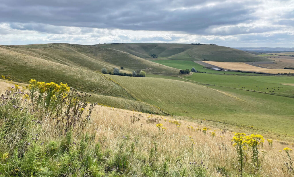
The route drops down to Clifford’s Hill, another past reminder, being crowned by Rybury Camp, a hillfort that dates back 5,000 years. On my visit I saw very few people on the walk, although many cows, with the frisky Red Rubies occupying the hillfort seemingly ready to repel my invasion!

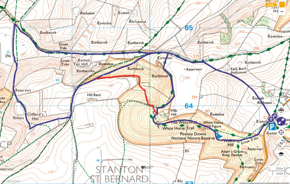
The route outlined is a figure of eight, however, on my walk the weather had steadily picked up following my early start, so I thought I ought to revisit some of earlier parts to improve photographs (the efforts I go to for you!). Therefore, after descending to the farm road from Clifford’s Hill I shortly took another path re-entering the Pewsey Downs Nature Reserve and leading directly into a combe below Milk Hill. Leaving this hollow involves a few hundred feet of steeper climbing, which ironically feels comforting, both from the perspective of being deeply ensconced in the heart of the hills and the welcome exercise on what is a generally a very gentle walk. I then retraced my steps past the Alton Barnes White Horse to Walker’s Hill.
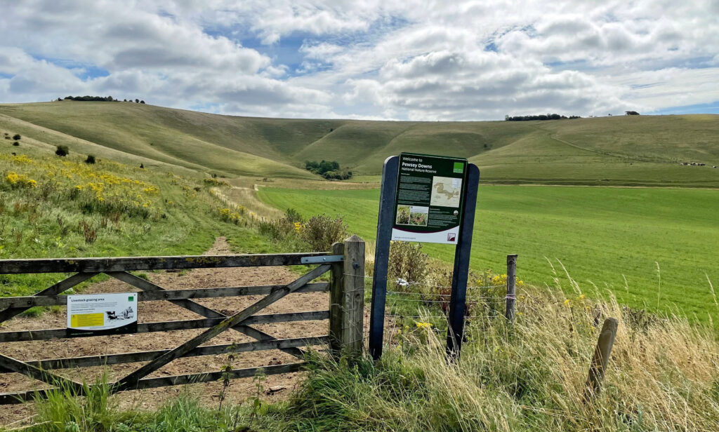
Alternatively, the direct route entails half a mile ascent of farm road climbing back to meet Wansdyke and then a path skirting the summit of Milk Hill, before descending gently back to the car park. The walk should take around two and a half very enjoyable hours, whilst exuding antiquity every step of the way.
Worthy Rating: 67
Aesthetic – 21
Complexity – 12
Views – 14
Route Satisfaction – 13
Special Qualities – 7
One thought on “Pewsey Downs – A Wiltshire Wanderland”
I have never been, but if you recommend it, then it’s worth a visit