Yr Eifl – Snowdonia’s Miniature Rival
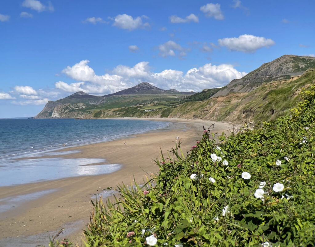
Commonly called ‘The Rivals’, rather appropriate for this group of three pointy peaks thrusting from the ocean and jostling for attention, the name is merely an anglicised adaptation from the pronunciation rather than a direct translation. In the modern Welsh language, there is no such word as Eifl and it perhaps derived from olden days when it is thought to have described a Trident or Fork, which is certainly an apt physical description.
The hills form the highest land on the Llŷn Peninsula rising to 1850 feet, although generally they are ascended from a car park at half that height, which renders the climbs short, albeit sharp. Don’t let this lack of altitude dissuade you from bothering, for there is much of interest both on the ground and in views that are utterly spectacular, from the mountains of Ireland to the Isle of Man and from Snowdonia to St David’s Head.
The map can be zoomed in or out to change the scale
Yr Eifl is a collective name, although it also refers to the principal summit, individually known as Garn Ganol. Garn For is the seaward and lowest top, which also carries the name Mynydd y Gwaith (mountain of ‘work’), probably referring to quarrying activities rather than the laborious task of its ascent!
The inland height is Tre’r Ceiri, a name given to both the mountain and its extraordinary hillfort. Each hill brings a different aspect to the surrounding views and ideally all three should be climbed, if only to compare their ‘rival’ vistas.
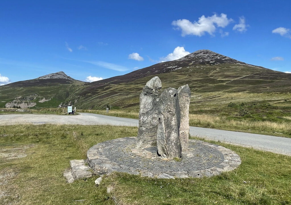
The main car park for the ascent is perched high above Nant Gwrtheryn, formerly an isolated quarrying village, abandoned then restored as a centre for Welsh language studies. It’s a fascinating place, reached by a switchback road that plunges to the sea.
As for the hills, the most pleasing excursion for route quality is probably to simply visit the two major tops, omitting Garn For, with the ascent of Yr Eifl commenced by heading up onto the common above the car park then following the skyline to the summit.
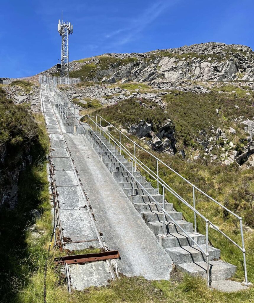
To include Garn For first, take the Landrover track to the Bwlch yr Eifl. The views make up for the unexciting path, which is nevertheless also the route of the Wales Coast Path and North Wales Pilgrim’s Way. Above the bwlch is a telecom mast reached by 137 concrete steps. You need to go this somewhat unlikely way too, then left, across the front of the installation onto a rocky path to the summit. Alternatively, a narrow path leads right, across a heathery shelf and then steeply up from the far end of the crags. Do not use this route for descent as there are precipitous drops close by.
Being the seaward top, the coast asserts its dominance, even though the spectacle of the Snowdonia’s mountains is equally magnificent.
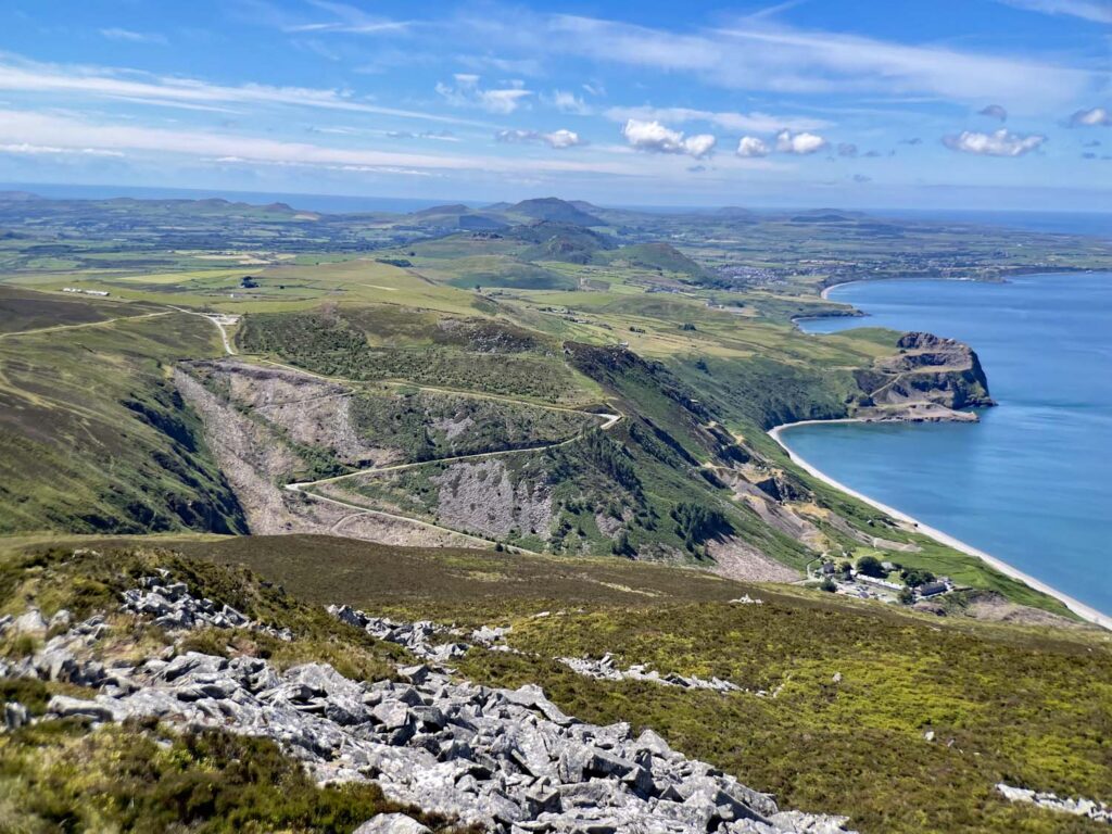
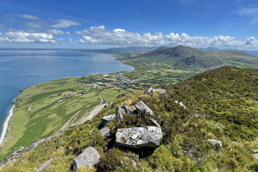
Returning to the bwlch, the forthcoming haul up to the summit of Yr Eifl is all too obvious. The climb is a respectable 700 feet so, despite these being relative low hills, this part definitely feels like a mountain! The trig point is adorned with a large metal number 4, brazed with the initials H and A. The history of this curiosity remains undocumented as far as my searches could discover, although it appears to have added in early 2009 and was originally painted. There are claims it was designed as a novel declaration of love!
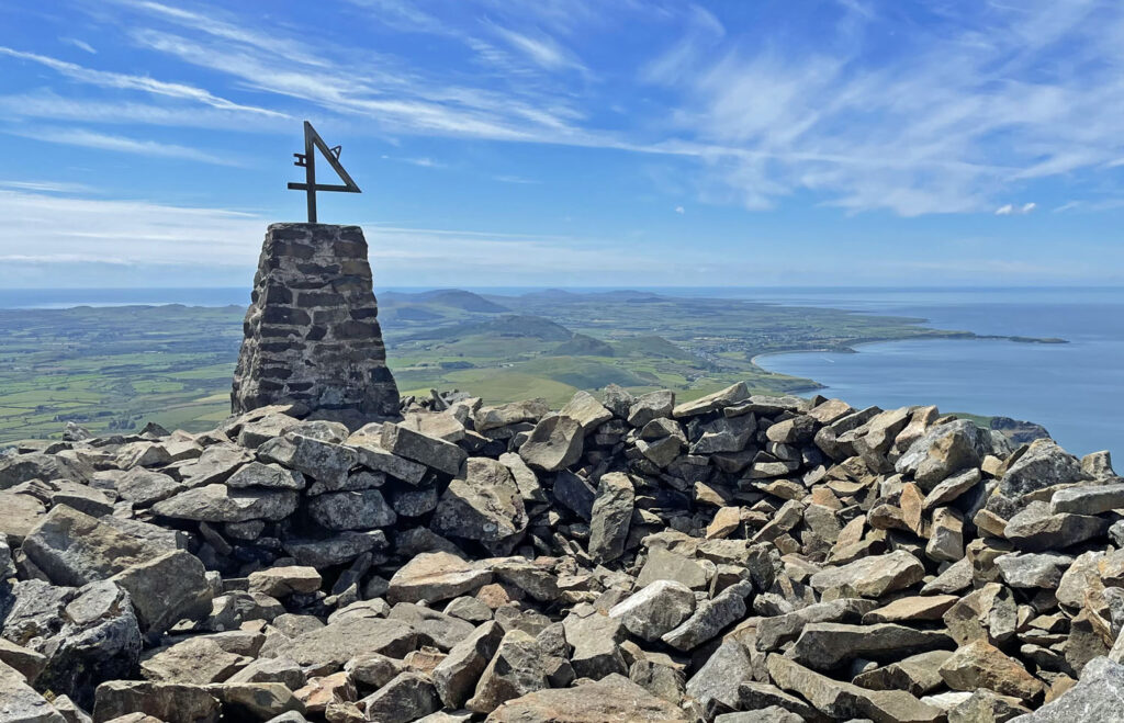
Comprising the highest ground for many miles the views are unobstructed in a full 360-degree panorama, from the Wicklow and Mourne Mountains in Ireland to the Isle of Man looming beyond Anglesey. Snowdonia is visible in its entirety, with the Welsh coast in sight right down to St. David’s. A more comprehensive scene would be difficult to imagine. This walk really is all about the views.
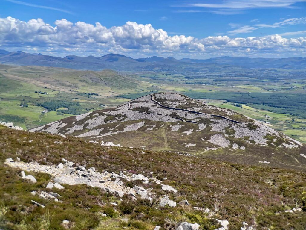
Closer at hand, the advantage of height affords a bird’s eye view of Tre’r Ceiri, the stone walls and hut outlines standing out amidst the exceptionally rocky, heather clad hill top. Ancient man was clearly very busy here. To reach the hill, descend directly towards it, down into a boggy hollow, then clamber delicately through the ruins of the former settlement. It is thought that one hundred and fifty buildings existed here with turf and heather thatched roofs, being home to around four hundred people. Evidence suggests that the fort remained occupied until 400AD, well into late Roman times. This is a place to absorb history, imagining the harsh, brutal, tribal existence of those who occupied this eyrie, with one eye in constant watch for invasion. Obviously, the passage of two thousand years of wild weather and the trampling of rampant feet has disturbed many stones, nonetheless, being far from plundering hands in subsequent centuries, the site has remained in remarkable preservation.
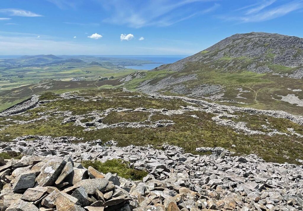
The return route heads directly for the high altitude, former quarrying village of Llithfaen, another potential starting point for the walk. After negotiating further ruins and a shallow pass, descend towards the village before striking right, rising gently across an open, glorious, short-cropped heather moor. From here the direct path to main summit of Yr Eifl invitingly beckons, providing a tempting reason to make a revisit your priority.
While You Are There…
Yr Eifl may be the only hills of consequence on the Llŷn, although the views from the tops reveal a compelling coastal scene, narrowing to the boot of the peninsula, where the prize of Bardsey Island awaits the spiritual traveller, resembling a monstrous whale sweeping across the turbulent Sound. The Island of Bards is Ynys Enlli in Welsh, or simply Enlli, and was considered to be a direct pathway to heaven, thus accounting for the 20,000 saints reputedly buried there. Another form of pathway to heaven would be the ascent of the impressive Enlli ‘mountain’ on the island, soaring 548 feet above the treacherous currents in the Sound of Bardsey.
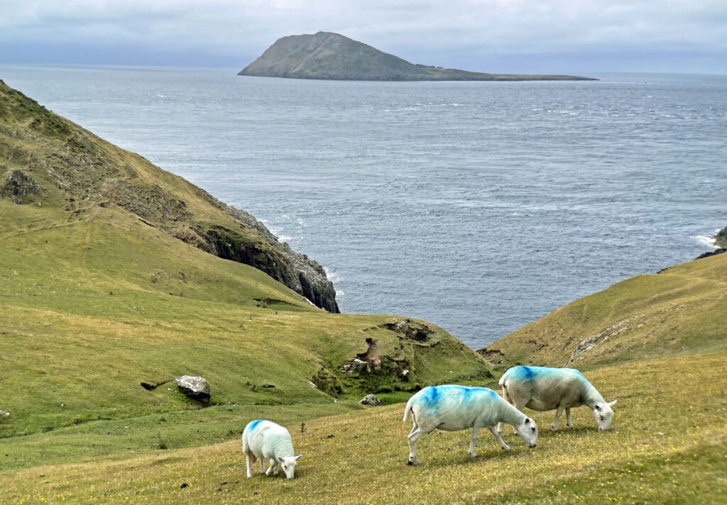
A highly recommended section of coast path leads for 8.5 miles from the ravishingly curious Whistling Sands at Porth Oer, over Mynydd Anelog and Mynydd Mawr, the latter providing striking views of Bardsey from the coastguard hut. Choughs are also a common sight, although a very rare bird with just 250 pairs in Britain, a quarter of which are on the Llŷn.
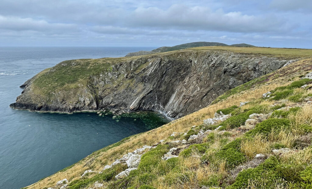
The sea cliffs of the peninsula are at their finest from here to the southern tip at Pen y Cil, from the where the path turns north, passing Porth Meudwy, the embarkation point for Bardsey. It’s then a short stroll to the former fishing village of Aberdaron, serving these days as quaint holiday destination.
Worthy Rating: 70
Aesthetic – 21
Complexity – 12
Views – 18
Route Satisfaction – 12
Special Qualities – 7