Arenig Fawr – The Belvedere of Snowdonia
Arenig Fawr gains its place on the Worthy list principally through the attractive combination of altitude, isolation and the consequent superiority as a viewpoint. As an ascent, the route via Llyn Arenig Fawr is a rewarding walk and the summit is a fine place to be. Beyond that, the mountain’s other faces are less distinguished, although this quiet, unpretentious slice of Wales definitely deserves to be on your to-do list.

Located towards the eastern fringes of the Snowdonia National Park, Arenig Fawr translates as Great High Ground, which rises to a lofty 2802 feet (854m), quietly dominating the vast moorland of the Migneint. The surrounding roads are also of high scenic value and much less frequented than those closer to the more celebrated mountains.
From the east, the A4212 from Bala hugs the shores of Llyn Celyn, a substantial reservoir created in 1965 to serve Liverpool, amongst much controversy involving the flooding of a small village, with construction approved by parliament despite opposition from the majority of Welsh MPs. This understandably served to strengthen the rise of Welsh Nationalism.
From the north and west the Migneint Plateau, an internationally important blanket bog, provides a stunning approach, with the two roads converging at the remains of the erstwhile railway line from Bala to Ffestiniog, its course now submerged in places beneath the reservoir. The usual parking place for the ascent is by the former station, which served the old granite quarry, now a desolate scar on the hillside.
The map can be zoomed in or out to change the scale
Unless you are a geologist, the other use of Arenig will be unknown, a name is applied to a geological period during the early Ordovician epoch called the Arenigian, which sounds more like a fearsome tribe that inhabited the district in prehistoric times! Nevertheless, the period was concurrent with the deposition of the Skiddaw Slates in the Lake District.
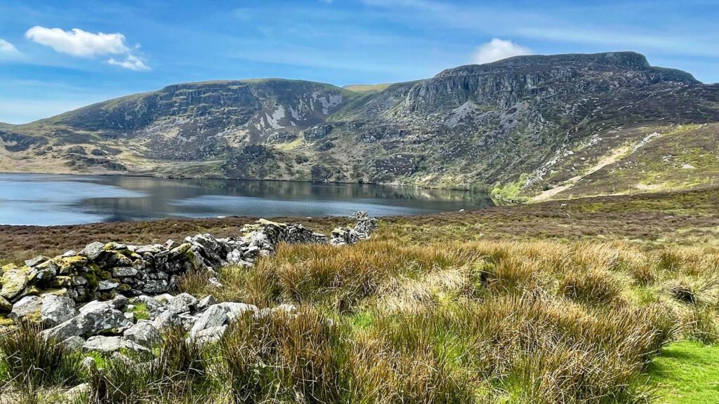
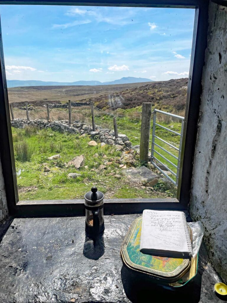
Assuming you have parked near the quarry there is pleasant walk along a quiet road before taking the gate onto the wide track up the hill. The angle soon eases providing a gentle approach to Llyn Arenig Fawr, which is a surprisingly deep lake plunging down to 113 feet. The reason for this is that the smaller, natural lake was enlarged by the building of a dam in Victorian times to supply Bala with water. In front of the grassy dam wall is a tiny stone hut that would have been a shelter for construction workers, and is now in use as a bothy. It’s certainly rudimentary and cosy inside, and even though it’s only half an hour from the road, the visitors book reveals frequent occupation, although with sleeping for two people only, the proximity of the road may be useful at busy times for an unscheduled return home due to overcrowding!
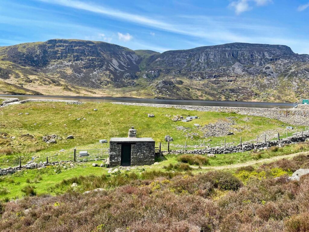
Above the lake, the mountain rises impressively enough and a slanting line on a fair path affords a comfortable ascent. There are options to reach the summit ridge, either directly or a diagonal rising traverse, which you take would perhaps depends on your choice of descent route. I took the rising traverse through wonderfully rough and knobbly rock. Up until now, the views have been confined to the east and south, where the eye is drawn overwhelmingly to the bulk of the Arans. These hills are one of the secret surprises of Wales, only just failing to attain the magic 3000ft mark, otherwise it would be a much different story. A reputation for boggy ground also seals their fate for lack of footfall. The rounded Berwyns also compete for interest, again not often trod and lying outside the national park, they remain decidedly unpopular.
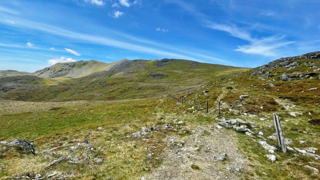
As the crest of Arenig Fawr is attained, the view to the west explodes onto the scene, an all-encompassing panorama featuring the crown jewels of Snowdonia, set on a distant stage. From Cadair Idris through the Rhinogs to the bristling northern peaks; it’s pretty jaw dropping stuff.
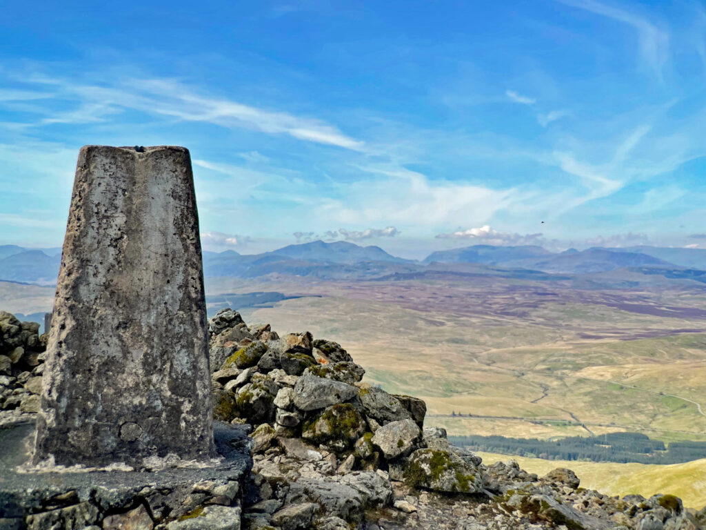
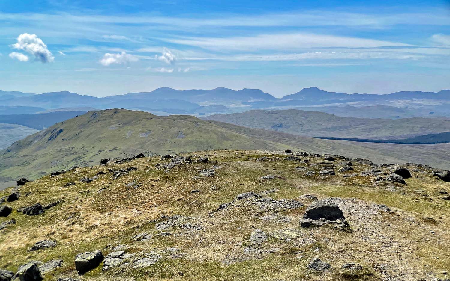
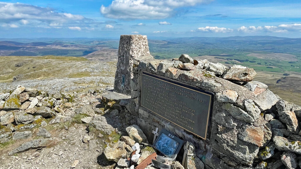
The summit is a fine place to linger and absorb this scenic feast, with a handy wind break by the trig point. Alongside is a silicon bronze memorial plaque commemorating the eight crewmen of a B-17 American Flying Fortress Bomber that crashed on a night training exercise in 1943. The flight was returning to Mossley Hill Airfield in Cambridgeshire when the considerable height of Arenig Fawr intervened. Wreckage can still be identified in the vicinity of the summit.
On my ascent for this feature, I had not seen a soul until leaving the summit, when a man with a dog appeared. It was a lovely day so I began to detour slightly to offer a friendly smile. However, the dog spotted me, scampered over, leapt up and nipped my arm. The owner appeared disinterested so he did not receive my greetings, but a stern rebuke from afar!
Many people choose to return more or less by the route of ascent, which is without doubt the driest underfoot. However, to the south and west grassy slopes can be descended in most places, giving a wide range of possibilities. For completeness, or if you are bagging Hewitts, there is the option to tag the south summit then cross to Moel Llyfnant, followed by a trudge back along an old drover’s route. The drover’s path can be reached at almost any point prior to that for a shorter descent, although it can be boggy in places. For this present walk I circled northwards around the bowl (a quick way down) to Craig y Hyrddod, which looks craggy on the map but isn’t really. From here a fence can be followed (with better views than the grassy slope) down a ridge to the drover’s path. If descending this way, cut off right in the lower part towards a lone tree. This avoids a particularly moist section. In truth, any ascent from the west would be quite tedious so I recommend it for descent only.
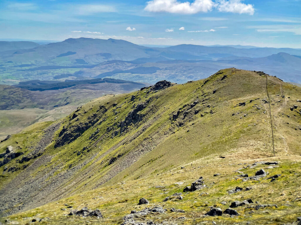
The most direct descent is to keep to the high ridgeline northeast, then drop left down the slope before reaching the crags of Pen Tyrau. A route does exist to the right (east) between the crags to the quarry above the parking area, although this would be not advised for descent. However, it may make for an interesting ascent, although doubtless would be pathless in the upper part. I certainly eyed the possibility while walking up to Llyn Arenig. If you have been this way please let me know!
Wales has its hotspots and crowds, yet it offers many sizeable hills whose special qualities remain ignored by the majority. Arenig Fawr is a prime example and is certainly not esoteric or non-conformist. Everyone will be enlightened by this independent aspect of Wales and enriched in their knowledge of wild places.
Status: An Honourable Mention:
Worthy Rating: 67.5
Aesthetic – 19.5
Complexity – 12
Views – 16
Route Satisfaction – 13
Special Qualities – 7
One thought on “Arenig Fawr – The Belvedere of Snowdonia”
The isolation of this summit makes it an inspiring place to be, though I do agree that the route options are limited. In many ways it reminds me of a Scottish summit in the isolation, wildness and pathlessness. I have descended by the NE ridge you mention, feeling our way down to just north of the Llyn (I think – if I recall correctly). A bit messy with much deep heather. A decent path up here would make for a more satisfying circuit.