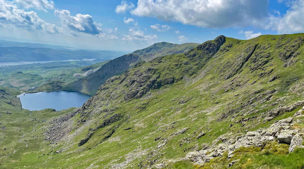
The Coniston Fells – a mountain or a massif?
The Old Man of Coniston is the crowning peak of southern Lakeland and one of the most popular ascents in the Lake District. When viewed from the shores of Coniston Water, the mountain exerts a massively dominating presence, although the Old Man is merely the highest point (and only that by supposition) amongst a compact range of seven summits, each offering equally rewarding exploration. For that reason, this particular ‘Worthy’ is not a solitary hill but a collective, under the heading of the Coniston Fells.
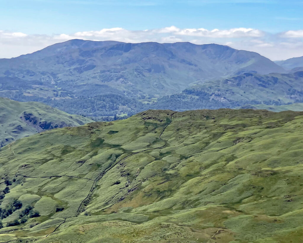
The Coniston Fells form the main focus of the Furness Fells, which run from Wrynose Pass southwards to Broughton-in-Furness. Wainwright chose to exclude the lower, southern heights in his pictorial guides; his catchment area taking a direct line from the foot of Wast Water to the foot of Coniston Water and missing the fine hill of Caw by a whisker. Nevertheless, he is forgiven, as there is a footnote mention for these hills in the Dow Crag chapter and he did include them in the later Outlying Fells book.
Coniston Old Man receives by far the majority of ascents, partly because it is recognised as the highest, augmented by its celebrated lure to visitors on the lakeshore. Historically important too is that the Old Man was until 1974 also the highest point in the county of Lancashire. Certainly, as a Lancastrian growing up within sight of the hill, I was proud to have such an association with the Lake District mountains. At that time Lancashire was far larger and included both Manchester and Liverpool within its original boundaries, which could only have amplified its appeal amongst the populace. In modern times the Influencers of social media have merely cemented the acclaim with the result that the fell is swarmed by an extraordinarily large and varied range of people. Little has changed since Wainwright remarked seventy years ago “On this stony parade fancy handbags and painted toenails are as likely to be seen as rucksacks and boots”.
The map can be zoomed in or out to change the scale
As an aside, for those unfamiliar with old Lancashire it must appear strange that the county once extended so far north, especially as the Furness area was separated from the bulk of Lancashire by Morecambe Bay. However, extensive (although treacherous) intertidal mudflats are revealed at low water, which bridged the gap for travellers in centuries past, shortening the journey and rendering ‘crossing the sands’ the quickest route. The crossing was superseded by the arrival of the railways, although is still undertaken as a guided walk.
Another interesting distinction between the Furness Fells and the rest of the Lake District is the use by map makers of the variant spelling Hawse, rather than the customary Hause, to describe mountain cols. Goat’s Hawse, Levers Hawse, Swirl Hawse and Birk Fell Hawse are all here, whereas elsewhere we have Esk Hause, Coledale Hause and Deepdale Hause. Perhaps this could be a legacy of the Lancashire influence, although Alfred Wainwright, the venerable Lancastrian, ignored this aberration and stuck to Hause throughout his books.

The Coniston Fells consist of seven tops and all can be linked in one continuous walk, adaptable in length from around ten to thirteen miles, or it can be split into separate days, enabling other aspects of respective hills to be discovered. If a traverse of the ‘Coniston Seven’ is your aim then it is preferable to begin at the Fell Gate car park for Walna Scar, which saves some distance (as opposed to starting in Coniston village) and also sheds altitude, as it stands at 740 feet above sea level. The downside is that because of that it is an extremely popular starting point and it is common for selfish individuals to park in passing places along the approach road, causing considerable congestion.
DOW CRAG
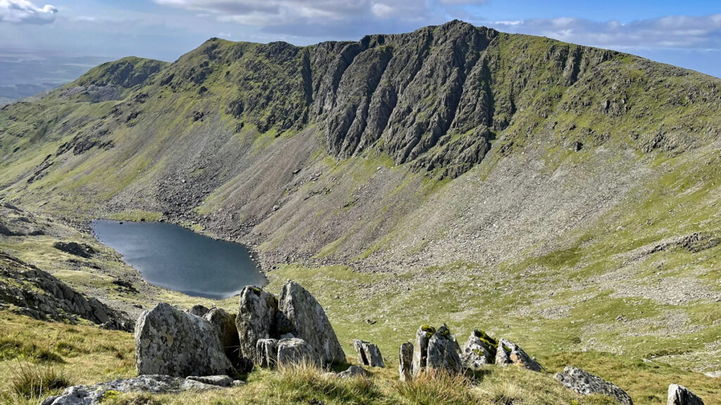
Taking the round clockwise (although it can equally be enjoyed anticlockwise) there are several initial options. I would suggest studying Mark Richards’ Coniston guide from the Fellranger series for descriptions. Probably the most satisfying and natural ascent follows the old trade route of Walna Scar to the pass at 2,000ft then up the ridge over Brown Pike and Buck Pike, looking out for Blind Tarn cradled below. This curious tarn is so-named for having no visible outflow, the waters being discharged underground. It is by no means stagnant and supports both trout and char. There are actually four Blind Tarns in Cumbria, all with the same characteristics.
From Dow Crag descend to Goat’s Hawse and round to the Old Man, keeping right for the best views of Dow Crag.
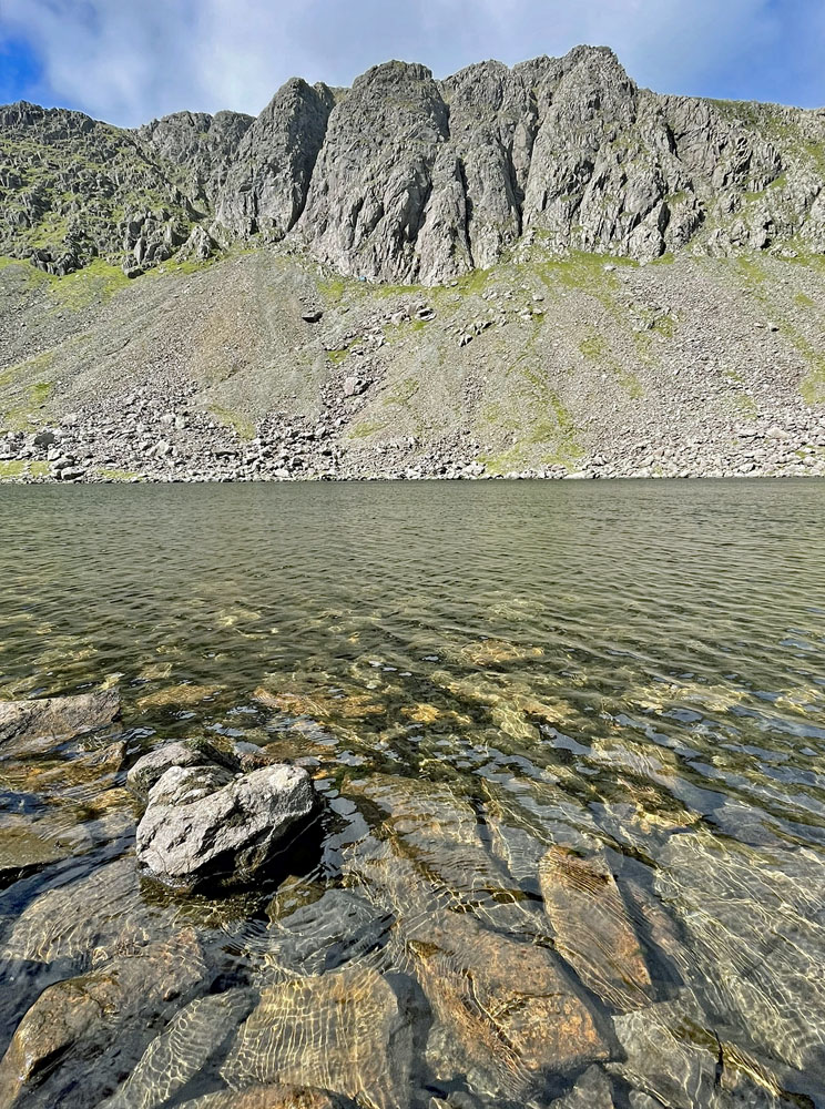
Alternatively, this route can be shortened by way of Goat’s Water to Goat’s Hawse. You can then divert to Dow Crag summit if desired. The Goat’s Water route affords the most intimate views of Dow Crag’s impressive buttresses. There is a scrambling option up the South Rake slanting to the left of the crags, if you are searching for exhilaration and happy to entertain some loose scree.
Whichever way you arrive, the summit is an impressive perch from which to dizzily peer down the precipitous crags and it is therefore unsurprising that Dow Crag was the location for the first-ever ‘official’ rescue by a dedicated Mountain Rescue Team. Coniston Mountain Rescue was the earliest civilian volunteer team in the UK, established in 1947. Their maiden call out was to the rescue of a climber on Dow Crag who had fallen 90 feet – the casualty being none other than the rescue team’s founder and leader Jim Cameron! Nevertheless, once healed, Jim continued as leader for the next thirty years.
THE OLD MAN OF CONISTON
There are three choices of path directly to the summit of the Old Man from the Walna Scar car park. The main tourist path is not the most pleasant route, particularly the first half, which takes a scrappy course through the unsightly desecration of the former slate quarry workings. Nonetheless, in its upper reaches above Low Water, much of the path is paved and the views are tremendous.
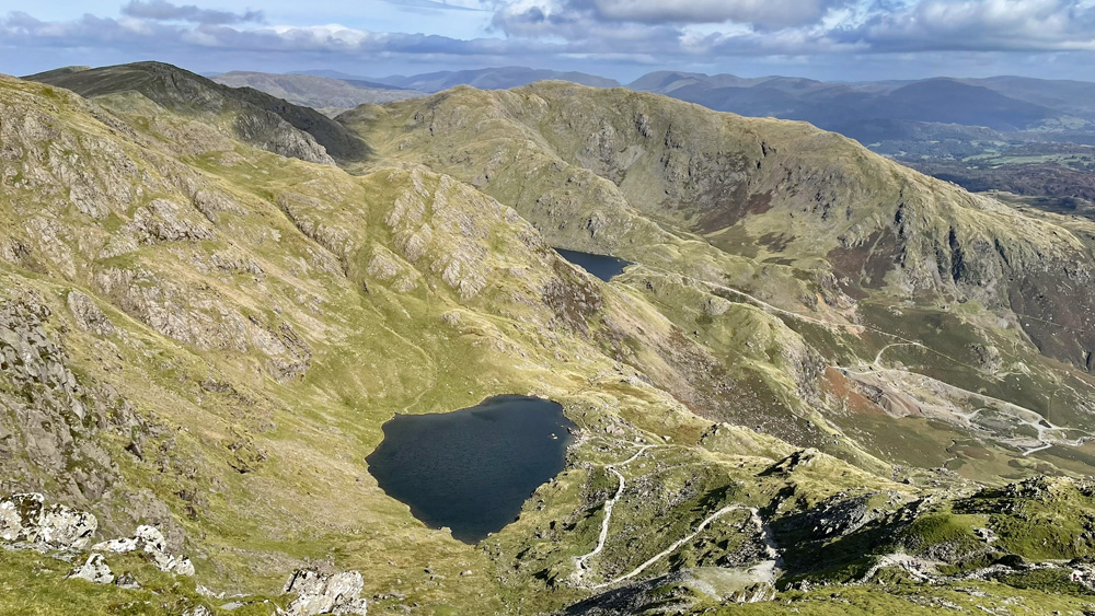
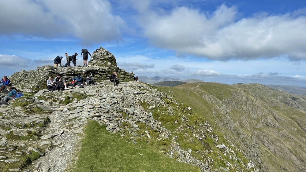
Little Arrow Moor and the South Ridge is a more pleasing option, being quieter though occasionally pathless, something quite remarkable for one of Lakeland’s busiest mountains. There are many variations to this climb, but in general start by taking the path that promptly leaves the track to Bursting Stone Quarry (the last to be worked on the mountain, as late as 2021). You can weave up the hillside or make a rising leftward traverse across to the South Ridge, before heading up to the summit. And quite a summit it is as here you will encounter all of humanity occupying the raised slate platform topped by a substantial cairn. This is the highest point in southern Lakeland and feels very much like the point of termination for the district. As such it provides a unique perspective, encompassing the seascapes of Morecambe Bay as much as the fells to the north.
Before moving on from the Old Man I must strongly recommend that you read Wainwright’s chapter on the mountain in his Southern Fells guidebook. AW was on top form here and provides eighteen pages of roaringly hilarious entertainment. It’s a work of genius and, whilst in general, many of his routes have lost favour or become redirected over the years, the essence of the mountains remains as he so deftly, lovingly and humorously described them.
BRIM FELL
Just imagine if Brim Fell was twenty feet higher than the Old Man, rather than twenty feet lower – wouldn’t things be different! As it is Brim Fell really struggles for any individual identity and even Wainwright could not find enough singularity to fill more than six pages in his guide. In reality, the top is merely a gentle rise on the ridge from the Old Man to Swirl How.
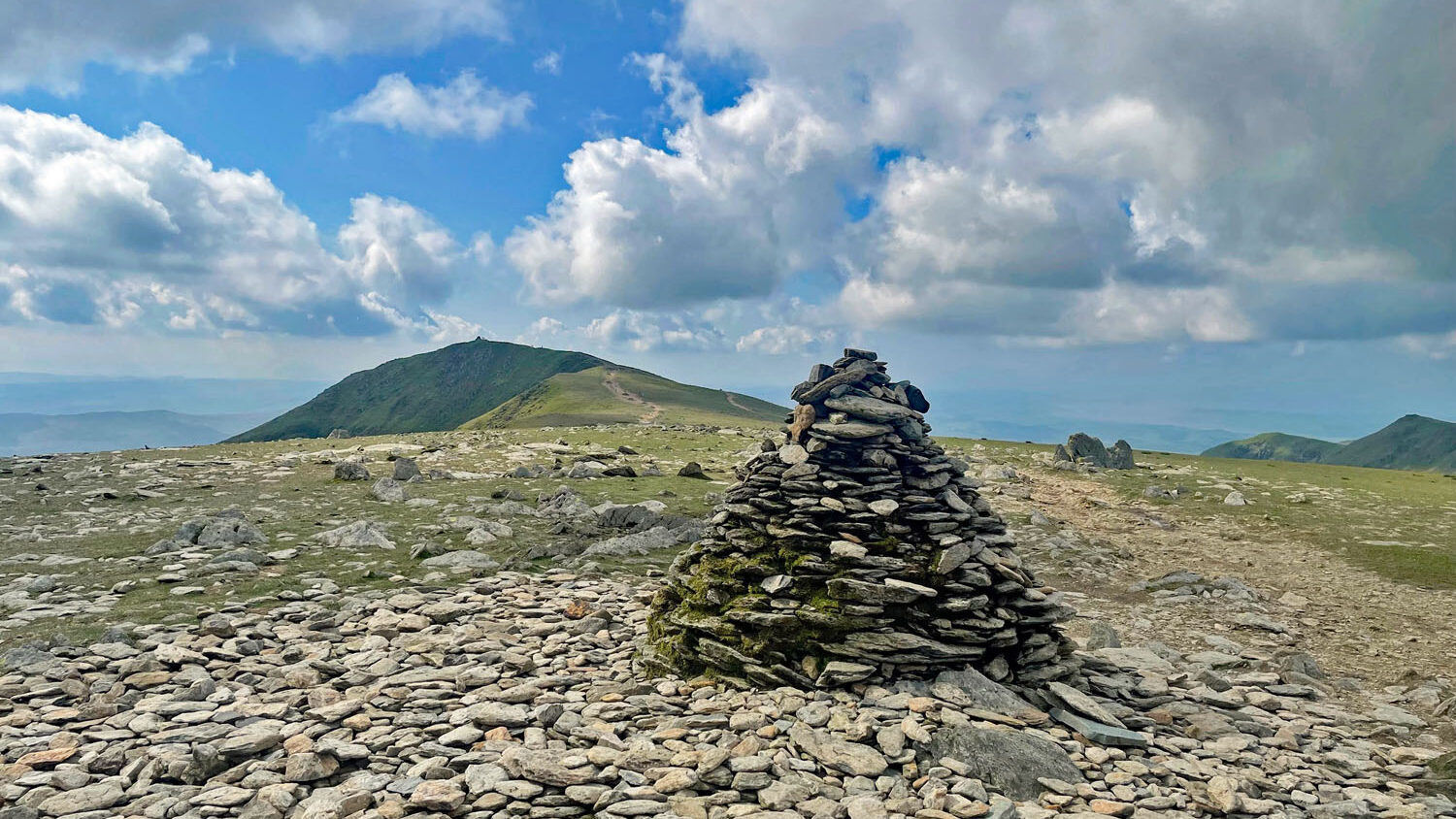
Few, if any people climb Brim Fell as a solitary objective, although I would assert that if Brim Fell was officially regarded as Old Man North Top (and thus an integral part of the same mountain), and Wainwright’s suggested ascent from Boulder Valley been adopted, this would have become a finer alternative to the standard tourist path. The route is rarely climbed, but follows a slanting grassy rake beneath Raven Tor and then behind it to the summit. Mark Richards is especially enthusiastic about the upper part of this route in his Fellranger guide. The scenery is impressive hereabouts, lending the only worthy distinction Brim Fell can confidently lay claim to.
SWIRL HOW
I have always been in the Swirl How Appreciation Society and one to root for the underdog. The hill is overshadowed by the fame of the Old Man, yet is undeniably the nucleus of the Coniston Fells, of which its celebrated neighbour merely provides an end point to one of Swirl How’s radiating arms. Being at the centre of things is perhaps the mountain’s downfall as there are few aspects from where it stands to be seen in proud isolation.
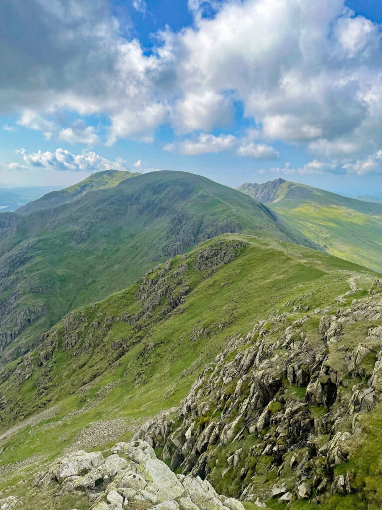
Due to its geographical importance, Swirl How deserves to be the highest of the range and in fact some sources do claim it to be so. The Fellranger guides employ Harvey Maps as their source and Harvey attributes a height of 804 metres as opposed to 803 metres for the Old Man, however, few others accept that as fact. The Ordnance Survey retain the Old Man’s 803m stature but reduces Swirl How to 802. So, what is going on?
To finally settle the debate both mountains were subjected to an independent survey in 2018. In terms of visible natural ground, both hills were found to be the identical altitude of 802.42 metres! Of course, things aren’t that straightforward and what the summit cairns obscure beneath them has to be taken into consideration. With Swirl How there is not likely to be much solid ground below, however, the Old Man has its substantial viewing platform and only determined dismantling would reveal the truth. On balance the surveyors judged that some raised ground beneath the Old Man’s summit construction was more likely and the mountain retained its crown.
GREAT CARRS
Great Carrs is basically just a lower top to Swirl How and, like Brim Fell, hardly worthy of separate mountain status. For the purposes of our round of the Coniston Fells, you are likely to simply nip out and back if you are a peak bagger, or be content to enjoy the prospect of its craggy face from the summit of Swirl How. The Greenburn Valley and the sweeping ridge of Wet Side Edge (what a great name!) from Little Langdale (or Wrynose Pass) add an extra dimension to ascent variety.
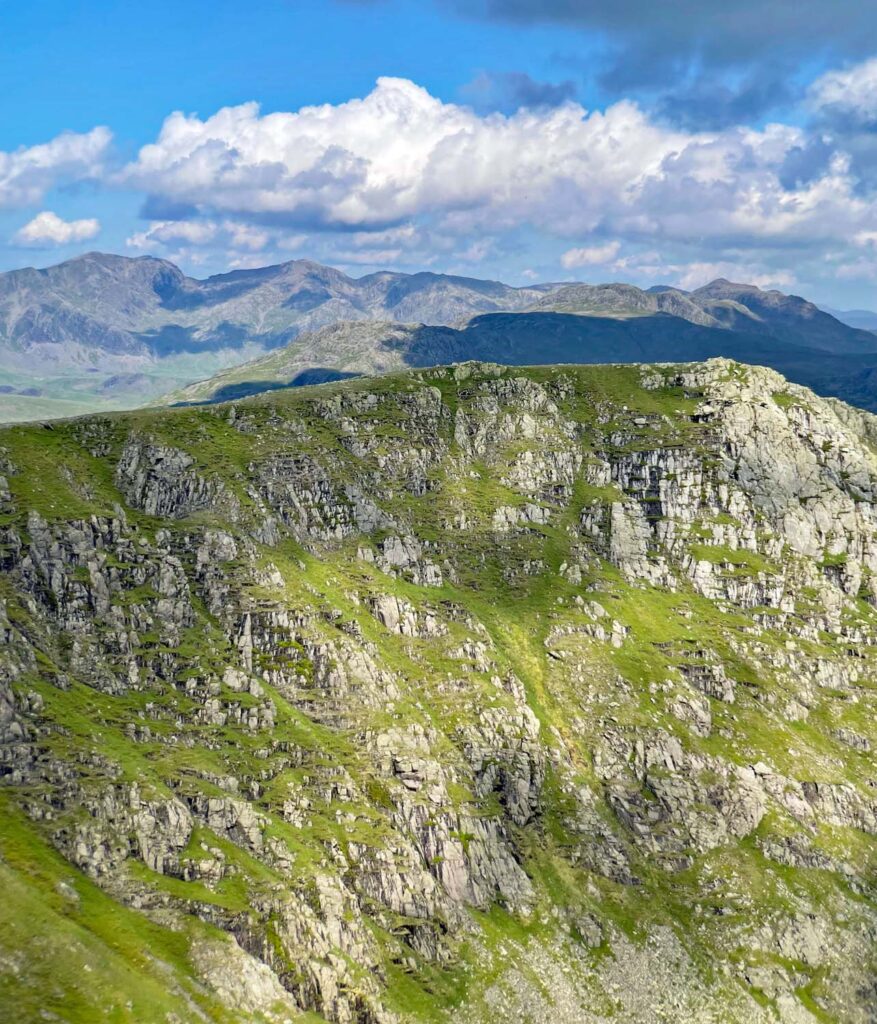
Great Carrs was the scene of a tragic Halifax Bomber crash in 1944. Like so many aircraft that have collided with mountains it was on a training flight, this one becoming lost in fog and was thought to be descending to visually check its location when it struck land close to the summit. A memorial marks the site and there is also much tumbled wreckage on the slopes stretching down Broad Slack, reputedly thrown over by the RAF team when clearing the debris.
GREY FRIAR
If including all the tops on the round, some backtracking can be saved by cutting off at Great How Crags on the climb from Levers Hawse to Swirl How and making for the saddle below Grey Friars, from where it is a gentle climb to the twin tops. The summit is worth visiting particularly for its unfettered view to the Scafells.
For me a great bonus of researching these fells for this website has been the discovery of ascent routes I had not previously thought of trying. I have rarely climbed the Coniston Fells from the Duddon Valley side, as most of the excitement lies on the eastern slopes, however, the prospect of Grey Friar by way of Seathwaite Tarn appears to be an attractive means to enhance my Lakeland wanderings, and after I have done so I will of course update this page! There are also guidebook options of an ascent from Cockley Beck or Wrynose Bottom, although I am less persuaded by these as they look extremely tedious. We must feel sorry for the guidebook writers who are compelled to make such ascents for the benefit of the few.
WETHERLAM
More than any of the Coniston Fells, Wetherlam is an individual. Although conveniently accessible from Coniston, the hill belongs equally to Tilberthwaite and Little Langdale. In addition, being set apart by distance from Swirl How and divided by the col of Swirl Hawse adds to the aloof, separate presence. And from many of the Lake District peaks, it is Wetherlam, not the Old Man of Coniston that seizes the attention.
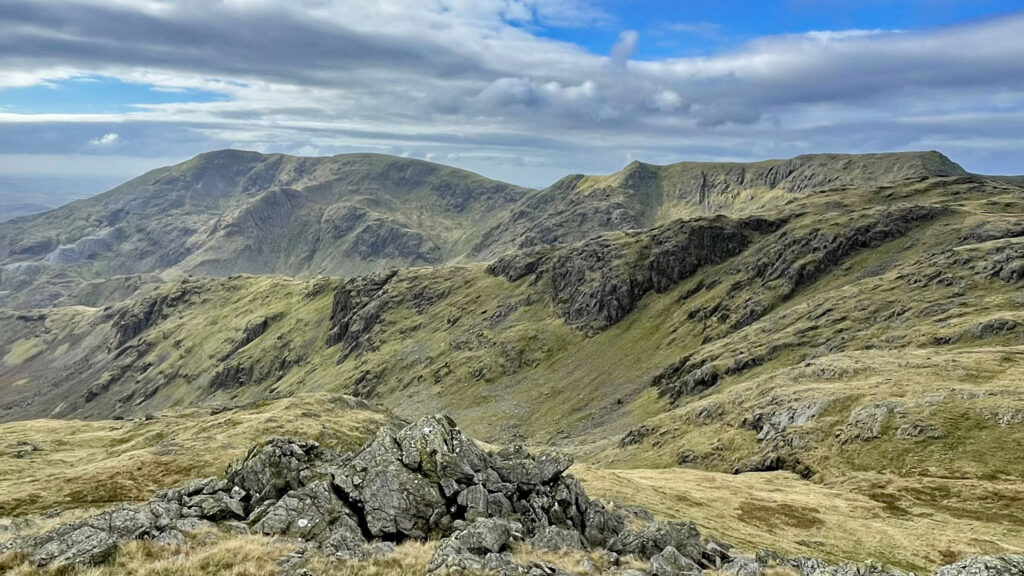
There are several excellent ascents from the east, where Wetherlam can be climbed as the sole purpose or be combined with Swirl How. Strangely, Wainwright only lists three ascents for Wetherlam, whereas Mark Richards provides seventeen variations, truly reflecting the diversity of the fell. Wainwright does not mention the Black Sails South Ridge, nor Steel Edge, a very enjoyable alternative to Wetherlam Edge, the top part of which is now rather eroded through heavy footfall.
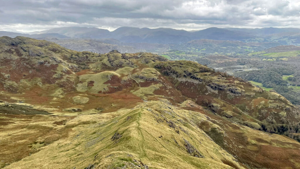
Back to our round, we descend from Swirl How via the distinctive ridge of Prison Band, a compelling name, though rather less formidable than its title suggests. This leads to Swirl Hawse, the lowest of the major cols in the Coniston Fells. From here, Wetherlam is clearly a considerable addition to our walk and many simply turn right and head down to Levers Water. However, if you include Wetherlam, do not retrace your steps to Swirl Hawse as many suggest, but instead try the approach to Levers Water by the little-used Black Sails South Ridge. There isn’t much of a path but it’s fairly obvious and provides a worthwhile alternative. At present the path from Swirl Hawse to Levers Water is undergoing restoration, set to be completed in 2025.
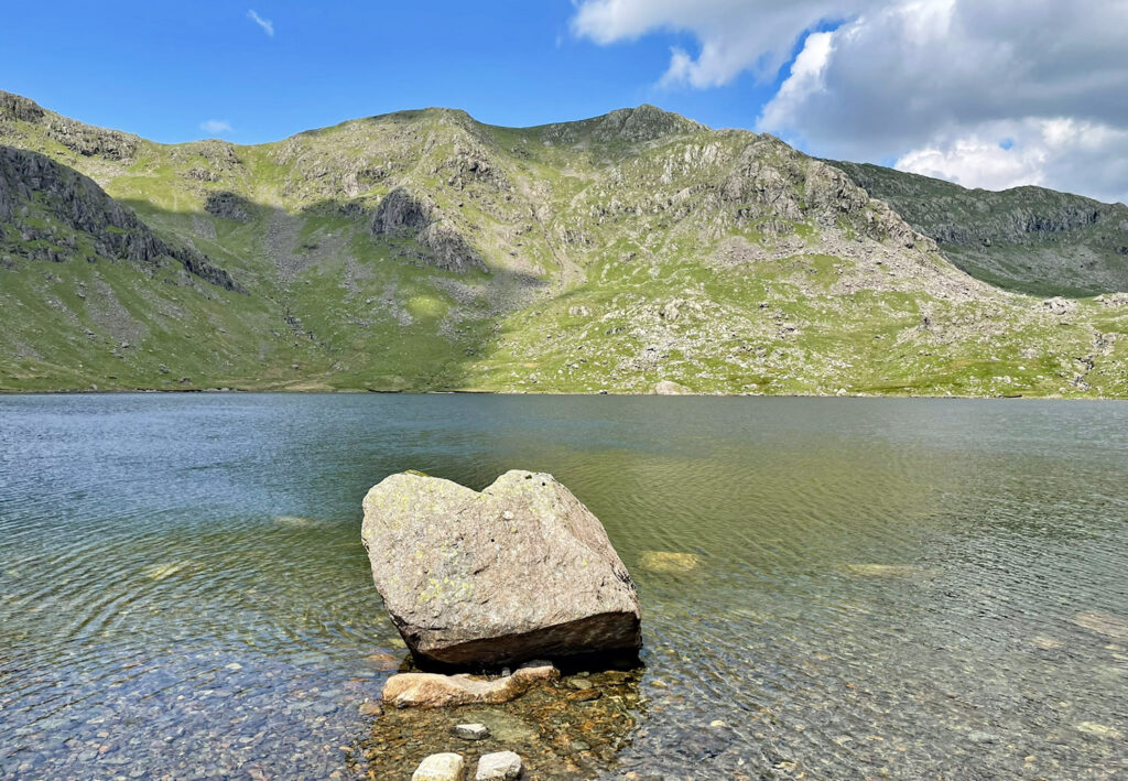
Levers Water has a fine setting beneath the eastern wall of the main ridge. Swirl How ought to gain some majesty from this aspect but it recedes shyly behind Great How Crags. Likewise, the Old Man is eclipsed by Brim Fell. Keep your gaze in this direction and it is possible to ignore the unsightly devastation that lies behind you, the countless shafts, holes and ruins that mark centuries of copper and slate extraction. The tarn played its part by supplying water and while the present dam dates back to 1717, it was merely an enlargement to an earlier structure.
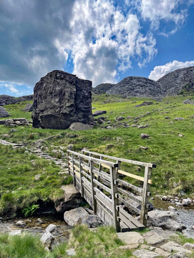
For our finale, the delights of Boulder Valley serve admirably to distract from the dreary Coppermines Valley that leads directly down to Coniston village. Boulder Valley is a wonder of the landscape, although more of a high, suspended shelf than a valley. It is scattered with huge fallen rocks, some bigger than houses. The passage through them is an extraordinary experience, prior to the coming culture shock of the main tourist trail, which when reached, carries you back to the jarring reality of civilisation.
Worthy Rating: 81
Aesthetic – 24
Complexity – 15
Views – 15
Route Satisfaction – 21
Special Qualities – 6
The rating is naturally skewed upwards by combining several hills, although deliberately tempered by strict judgement!
One thought on “The Coniston Fells – a mountain or a massif?”
I have fallen into the trap of doing the regular walks of the Coniston Fells, apart from one ascent of Steel Edge (recommended by Frank Foster), and a round from the Duddon Valley, descending to Seathwaite Tarn from Grey Friar as you mention as an idea. I have not considered Black Sails south ridge, nor the south ridge of the Old Man, and the Boulder Valley route has always been missed too – must take a look.